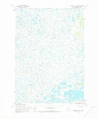
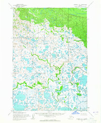
1954 Map of Marshall B-2
USGS Topo · Published 1974About this map
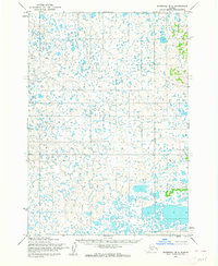
Putu Creek and Mogak Creek define the low-lying, water-saturated drainage patterns of this Alaskan landscape in the mid-1950s. The topography, mapped by the Army Map Service using photogrammetric methods from 1951 aerial photography, reveals an intricate network of unnamed ponds and marshes characteristic of the tundra west of the Yukon River. The map is defined by its hydrographic detail rather than human settlement, showing the natural state of the terrain as it was field-annotated in 1954. Aside from Kuka Creek, the area remains largely devoid of named geographic landmarks or infrastructure, reflecting the isolation of this portion of the Bethel region during the post-war era. This document captures the hydrologic complexity of the Alaskan interior before the advent of modern digital mapping, based on the surveys and control of the USC&GS and the Bureau of Land Management.
Find a feature on this map
3 named features on this map. Tap any name to fly to it.
Don’t see what you’re looking for? This feature index may not catch every label — zoom into the map to look around manually.
Map Details
Editions of this 1954 Marshall B-2 Map
3 editions found
Other maps of this area

1951 · Marshall
USGS Topo · 1:250,000

1952 · Marshall C-1
USGS Topo · 1:63,360

1954 · Marshall C-3
USGS Topo · 1:63,360
1954 · Marshall C-2
USGS Topo · 1:63,360

1954 · Marshall B-3
USGS Topo · 1:63,360

1954 · Marshall A-2
USGS Topo · 1:63,360

1954 · Marshall A-3
USGS Topo · 1:63,360

1954 · Marshall A-1
USGS Topo · 1:63,360
1954 · Marshall B-2
USGS Topo · 1:63,360
1954 · Marshall B-1
USGS Topo · 1:63,360