
1952 Map of Marshall D-5
USGS Topo · Published 1964About this map
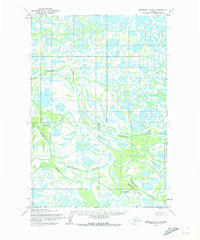
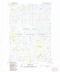
The Kashunuk River carves a complex, winding path through a landscape dominated by an intricate network of lakes, ponds, and sloughs in this 1952 topographic study. This area of Alaska represents a dynamic fluvial environment where water and land are in constant flux, characterized by numerous unnamed islands and peninsulas formed by the river's meandering course. The map illustrates a region before significant modern development, focusing on the natural hydrography and the predetermined land lines established by the Bureau of Land Management. The lack of named settlements or roads underscores the isolation of this watery expanse, where the primary geographic features are the shifting banks and the expansive wetlands that define the Seward Meridian’s western reaches. Researchers can trace the ancient drainage patterns and the specific township and range boundaries, such as R. 80 W. R. 79 W., which partition this vast subarctic delta.
Find a feature on this map
4 named features on this map. Tap any name to fly to it.
Don’t see what you’re looking for? This feature index may not catch every label — zoom into the map to look around manually.
Map Details
Editions of this 1952 Marshall D-5 Map
3 editions found
Other maps of this area

1951 · Marshall
USGS Topo · 1:250,000

1952 · Kwiguk
USGS Topo · 1:250,000

1952 · Kwiguk A-4
USGS Topo · 1:63,360

1952 · Kwiguk A-3
USGS Topo · 1:63,360

1952 · Marshall D-4
USGS Topo · 1:63,360

1952 · Marshall C-6
USGS Topo · 1:63,360

1952 · Marshall C-5
USGS Topo · 1:63,360

1952 · Marshall D-6
USGS Topo · 1:63,360

1954 · Marshall C-4
USGS Topo · 1:63,360

1954 · Marshall
USGS Topo · 1:250,000