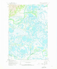
1952 Map of Marshall D-7
USGS Topo · Published 1974About this map
Kusilvak Mountains dominate the northwestern corner of this subarctic landscape, providing a rare topographical anchor in a region otherwise defined by an intricate network of waterways and ponds. The hydrography of the Yukon-Kuskokwim Delta is captured here in exhaustive detail, showing the meandering paths of the Black River and the Kashunuk River as they thread through the tundra. Smaller distributaries like the Kipnungolak River and Kipniarak further fragment the land, illustrating the seasonal fluidity of this environment. Compiled from aerial photography by the Army Map Service in the early 1950s, the map reveals a wilderness without established roads or permanent settlements, where travel was governed entirely by the rise and fall of these major river systems.
Find a feature on this map
5 named features on this map. Tap any name to fly to it.
Don’t see what you’re looking for? This feature index may not catch every label — zoom into the map to look around manually.
Map Details
Editions of this 1952 Marshall D-7 Map
2 editions found
Other maps of this area

1951 · Marshall
USGS Topo · 1:250,000

1952 · Kwiguk
USGS Topo · 1:250,000

1952 · Kwiguk A-5
USGS Topo · 1:63,360

1952 · Kwiguk A-6
USGS Topo · 1:63,360

1952 · Marshall C-7
USGS Topo · 1:63,360

1952 · Marshall C-6
USGS Topo · 1:63,360
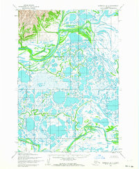
1952 · Marshall D-7
USGS Topo · 1:63,360

1952 · Marshall D-6
USGS Topo · 1:63,360
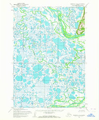
1952 · Marshall D-8
USGS Topo · 1:63,360
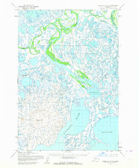
1952 · Marshall C-8
USGS Topo · 1:63,360