2022 Map of Martinsville West
USGS Topo · Published 2022About this map
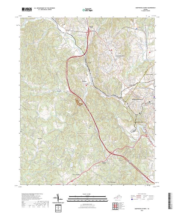
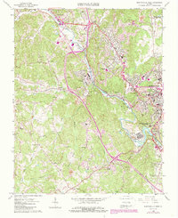
The Smith River winds through the heart of Henry County, carving a valley that anchors the industrial and residential development of Martinsville and its surrounding communities. This modern survey illustrates the proximity of long-standing settlements like Fieldale, Bassett Forks, and Collinsville, showing how they are connected by arterial routes like the Virginia Ave and T B Stanley Hwy. The map provides significant detail for local historians and genealogists, locating the Henry County Courthouse alongside several established burial grounds, including Peoples Cem and Oakwood Cem. Institutional growth is evidenced by the New College Institute, while the terrain to the south rises toward landmarks such as Dug Mtn and Chestnut Knob. The transition from the urban grid of Martinsville to rural landscapes like Horse Pasture highlights the varied development patterns of this Piedmont region.
Find a feature on this map
50 named features on this map. Tap any name to fly to it.
Don’t see what you’re looking for? This feature index may not catch every label — zoom into the map to look around manually.
Map Details
Editions of this 2022 Martinsville West Map
This is the sole edition of this map. No revisions or reprints were ever made.
Historical Maps of Rangeley Through Time
14 maps found

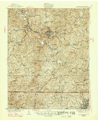
1924 Martinsville
Henry County, VA

1926 Martinsville
Henry County, VA
1927 Martinsville
Henry County, VA

1944 Martinsville
Henry County, VA
1964 Martinsville East
Henry County, VA
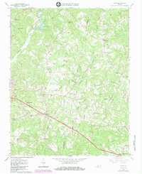
1965 Axton
Henry County, VA
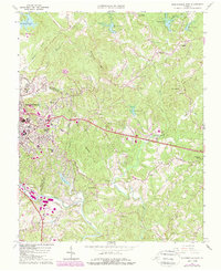
1965 Martinsville West
Henry County, VA
1965 Mountain Valley
Henry County, VA
1967 Sanville
Henry County, VA
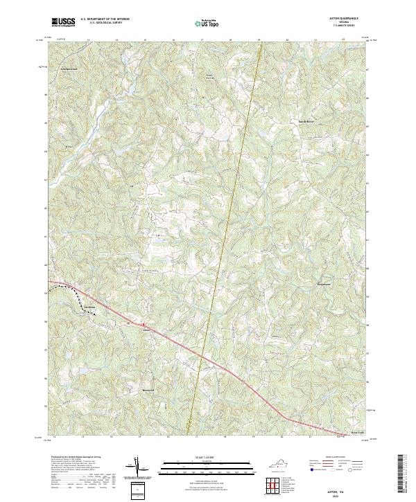
2022 Axton
Henry County, VA
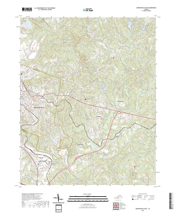
2022 Martinsville East
Henry County, VA
2022 Martinsville West
Henry County, VA
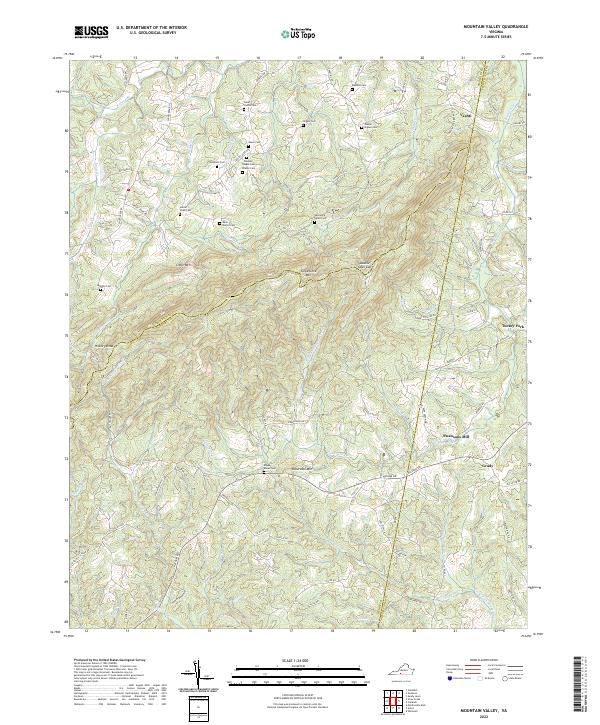
2022 Mountain Valley
Henry County, VA
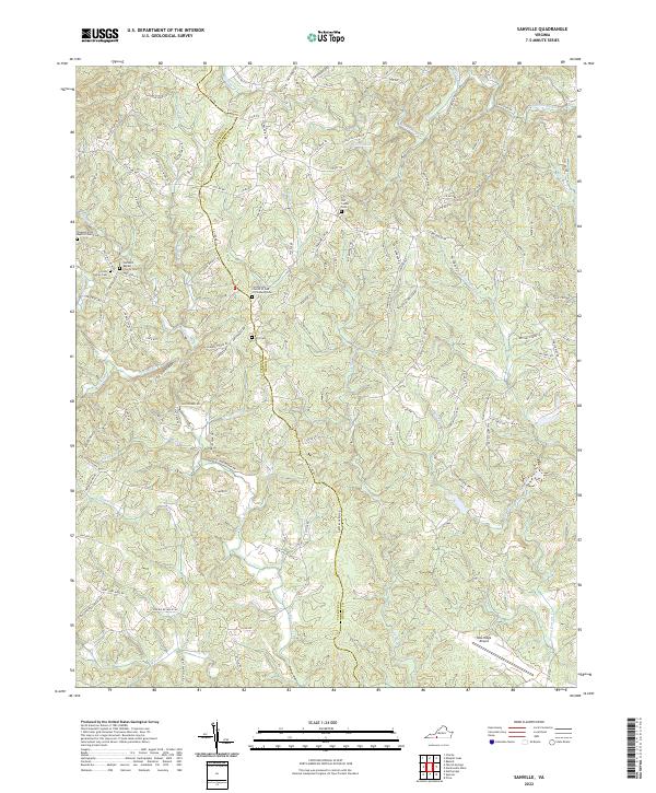
2022 Sanville
Henry County, VA