
1894 Map of Marysville
USGS Topo · Published 1894About this map
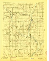
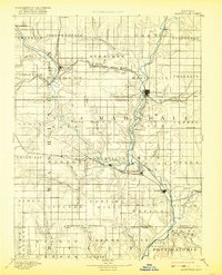
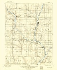
The Little Blue River and its numerous tributaries dominate this late-nineteenth-century landscape, illustrating the critical role of water and rail in the settlement of Marshall County. The town of Marysville serves as a primary hub, situated at the junction of the Union Pacific Railroad and the St Joseph and Grand Island Railroad. Further south, the confluence of the river with the Black Vermillion River anchors the communities of Irving and Bigelow.
Find a feature on this map
84 named features on this map. Tap any name to fly to it.
Don’t see what you’re looking for? This feature index may not catch every label — zoom into the map to look around manually.
Map Details
Editions of this 1894 Marysville Map
4 editions found
Other maps of this area

1886 · Junction City
USGS Topo · 1:125,000

1889 · Seneca
USGS Topo · 1:125,000

1889 · Wamego
USGS Topo · 1:125,000

1889 · Marysville
USGS Topo · 1:125,000

1889 · Junction City
USGS Topo · 1:125,000

1891 · Clay Center
USGS Topo · 1:125,000

1893 · Washington
USGS Topo · 1:125,000

1894 · Junction City
USGS Topo · 1:125,000

1894 · Seneca
USGS Topo · 1:125,000

1894 · Wamego
USGS Topo · 1:125,000