
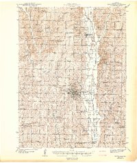
1943 Map of Maryville
USGS Topo · Published 1943About this map
Maryville serves as the regional hub of Nodaway County in this early 1940s survey, centered on the Maryville Teachers College and the local Court House. The city is a nexus for transportation, where the Chicago Burlington and Quincy railroad intersects with the Wabash Highway. The surrounding landscape is defined by the winding course of the One Hundred and Two River and its numerous tributaries, including Slaughter Creek and Mozingo Valley Creek.
Find a feature on this map
88 named features on this map. Tap any name to fly to it.
Don’t see what you’re looking for? This feature index may not catch every label — zoom into the map to look around manually.
Map Details
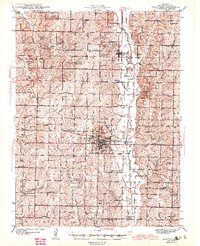
Editions of this 1943 Maryville Map
3 editions found
Other maps of this area

1925 · Stanberry
USGS Topo · 1:62,500

1926 · Maitland
USGS Topo · 1:62,500

1927 · Bolckow
USGS Topo · 1:62,500

1939 · Skidmore
USGS Topo · 1:62,500

1939 · Stanberry
USGS Topo · 1:62,500

1940 · Bedford
USGS Topo · 1:62,500

1940 · Coin
USGS Topo · 1:62,500

1940 · New Market
USGS Topo · 1:62,500

1940 · Parnell
USGS Topo · 1:62,500

1941 · Skidmore
USGS Topo · 1:62,500