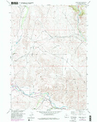
1956 Map of Mason Draw
USGS Topo · Published 1980About this map
The Wind River flows through the southern reaches of this landscape, flanked by a network of ranching operations and irrigation infrastructure essential to the high-plains geography of Wyoming-Fremont Co. Settlement is centered near Dubois, where the State Fish Hatchery is located near the riverbank. This 1956 survey, later updated to reflect 1970s developments, reveals the integration of water management and cattle ranching, marked by the presence of the Eseburg Ditch and several named properties such as the Rocking Chair Ranch and E A Ranch.
Find a feature on this map
21 named features on this map. Tap any name to fly to it.
Don’t see what you’re looking for? This feature index may not catch every label — zoom into the map to look around manually.
Map Details
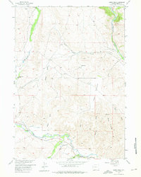
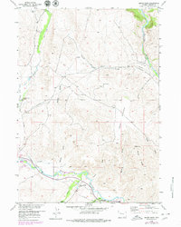
Editions of this 1956 Mason Draw Map
4 editions found

Other maps of this area

1904 · Kirwin
USGS Topo · 1:125,000

1905 · Younts Peak
USGS Topo · 1:125,000

1906 · Kirwin
USGS Topo · 1:125,000

1907 · Younts Peak
USGS Topo · 1:125,000

1909 · Fremont Peak
USGS Topo · 1:125,000

1952 · Blue Holes
USGS Topo · 1:24,000

1955 · Thermopolis
USGS Topo · 1:250,000

1956 · Indian Point
USGS Topo · 1:24,000

1956 · Dubois
USGS Topo · 1:24,000

1956 · Ramshorn Peak
USGS Topo · 1:24,000