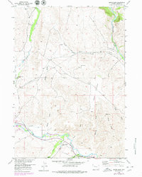
1956 Map of Mason Draw
USGS Topo · Published 1980About this map
Working cattle operations and remote mountain drainage systems define this mid-century look at the Fremont County landscape. The Wind River and its major tributaries, including the braided Wiggins Fork and Carson River, anchor the lower elevations, while family holdings like E A Ranch, Rocking Chair Ranch, and Jones Ranch mark the established agricultural footprint of the era. The land use is further characterized by water management features such as the Leseburg Ditch and the presence of the State Fish Hatchery near the river's edge.
Find a feature on this map
21 named features on this map. Tap any name to fly to it.
Don’t see what you’re looking for? This feature index may not catch every label — zoom into the map to look around manually.
Map Details
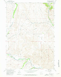
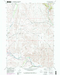
Editions of this 1956 Mason Draw Map
4 editions found

Other maps of this area

1904 · Kirwin
USGS Topo · 1:125,000

1905 · Younts Peak
USGS Topo · 1:125,000

1906 · Kirwin
USGS Topo · 1:125,000

1907 · Younts Peak
USGS Topo · 1:125,000

1909 · Fremont Peak
USGS Topo · 1:125,000

1952 · Blue Holes
USGS Topo · 1:24,000

1955 · Thermopolis
USGS Topo · 1:250,000

1956 · Indian Point
USGS Topo · 1:24,000

1956 · Dubois
USGS Topo · 1:24,000

1956 · Ramshorn Peak
USGS Topo · 1:24,000