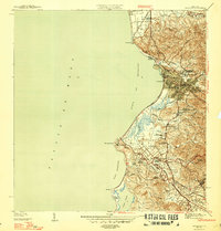
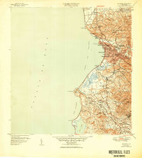
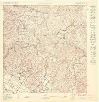
1947 Map of Mayaguez
USGS Topo · Published 1947This historical map portrays the area of Mayaguez in 1947, primarily covering Mayagüez Municipio as well as portions of Cabo Rojo Municipio, Hormigueros Municipio, and Añasco Municipio. Featuring a scale of 1:30000, this map provides a highly detailed snapshot of the terrain, roads, buildings, counties, and historical landmarks in the Mayaguez region at the time. Published in 1947, it is one of 4 known editions of this map due to revisions or reprints.
Find a feature on this map
53 named features on this map. Tap any name to fly to it.
Don’t see what you’re looking for? This feature index may not catch every label — zoom into the map to look around manually.
Map Details
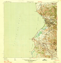
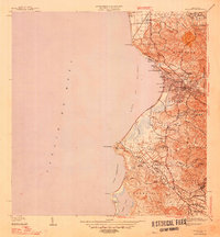
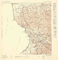
Editions of this 1947 Mayaguez Map
4 editions found
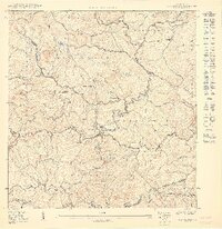
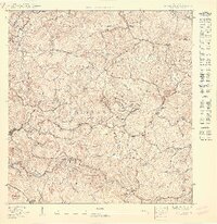
Historical Maps of Mayagüez Through Time
10 maps found

1939 Mayaguez
Mayagüez Municipio, PR
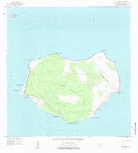
1944 Isla Mona
Mayagüez Municipio, PR
1947 Mayaguez
Mayagüez Municipio, PR
1950 Mayaguez NE
Mayagüez Municipio, PR

1950 Mayaguez SE
Mayagüez Municipio, PR
1950 Rosario NE
Mayagüez Municipio, PR
1950 Rosario NO
Mayagüez Municipio, PR
1950 Rosario SO
Mayagüez Municipio, PR

1955 Mayaguez
Mayagüez Municipio, PR
1964 Mayaguez
Mayagüez Municipio, PR