
1900 Map of Maynardville
USGS Topo · Published 1900About this map
Powell River and the Clinch River carve deep, winding paths through the ridge-and-valley landscape of East Tennessee at the close of the 19th century. This survey, based on work from 1892 to 1895, reveals a region defined by agricultural hubs and water-dependent industry, such as Massongills Mill. The settlement pattern follows the fertile gaps and valleys, with Tazewell and Maynardville serving as primary anchors for the scattered rural communities.
Find a feature on this map
194 named features on this map. Tap any name to fly to it.
Don’t see what you’re looking for? This feature index may not catch every label — zoom into the map to look around manually.
Map Details
Editions of this 1900 Maynardville Map
4 editions found
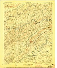
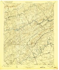
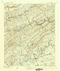
Other maps of this area

1883 · Morristown
USGS Topo · 1:125,000

1886 · Knoxville
USGS Topo · 1:125,000

1886 · Cumberland Gap
USGS Topo · 1:125,000

1887 · Jonesville
USGS Topo · 1:125,000

1888 · Cumberland Gap
USGS Topo · 1:125,000

1890 · Williamsburg
USGS Topo · 1:125,000

1891 · Cumberland Gap
USGS Topo · 1:125,000

1891 · Jonesville
USGS Topo · 1:125,000

1892 · Knoxville
USGS Topo · 1:125,000

1893 · Mt Guyot
USGS Topo · 1:125,000