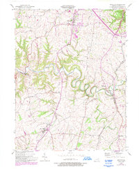
1952 Map of Mays Lick
USGS Topo · Published 1993About this map
The North Fork Licking River meanders through this portion of Mason County, carving a landscape of deep valleys and creek systems like Lees Creek and Mill Creek. This 1952 survey, updated with late-century developments in purple, centers on the village of Mays Lick and the historic settlement of Old Washington. The latter serves as a focal point for local history, featuring the Old Washington Cem and the nearby St Patricks Cem.
Find a feature on this map
23 named features on this map. Tap any name to fly to it.
Don’t see what you’re looking for? This feature index may not catch every label — zoom into the map to look around manually.
Map Details
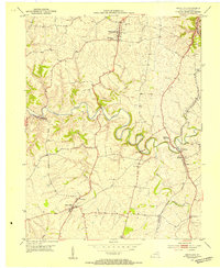
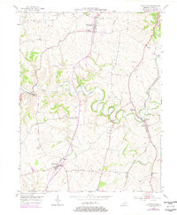
Editions of this 1952 Mays Lick Map
3 editions found
Other maps of this area

1915 · Maysville
USGS Topo · 1:62,500

1919 · Maysville
USGS Topo · 1:62,500

1929 · Springdale
USGS Topo · 1:48,000

1935 · Springdale
USGS Topo · 1:62,500

1951 · Flemingsburg
USGS Topo · 1:24,000

1952 · Cowan
USGS Topo · 1:24,000

1952 · Maysville East
USGS Topo · 1:24,000

1952 · Germantown
USGS Topo · 1:24,000

1952 · Elizaville
USGS Topo · 1:24,000

1952 · Maysville West
USGS Topo · 1:24,000