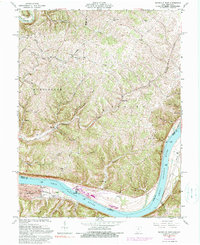
1961 Map of Maysville East
USGS Topo · Published 1990About this map
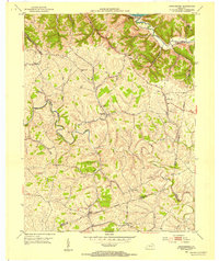
The Ohio River dominates this mid-century survey, acting as both a natural boundary and a central artery between Ohio and Kentucky. In Mason County, the city of Maysville shows its riverfront development, including the Mertz Memorial Playground and the critical corridor of the Chesapeake and Ohio railroad. Across the water in the townships of Huntington and Sprigg, the landscape shifts to a network of steep ridges and creek valleys. This rural Ohio terrain is marked by historical nodes of community life, from small settlements like Clayton and Hiett to numerous local landmarks such as Ebenezer Ch and Hiett Chapel. The map reveals a dense distribution of family-named cemeteries, including Ellis Grove Cem and Beasley Cem, providing a detailed look at the settlement patterns that define the region's genealogical heritage.
Find a feature on this map
45 named features on this map. Tap any name to fly to it.
Don’t see what you’re looking for? This feature index may not catch every label — zoom into the map to look around manually.
Map Details
Editions of this 1961 Maysville East Map
4 editions found
Other maps of this area

1915 · Maysville
USGS Topo · 1:62,500

1918 · Seaman
USGS Topo · 1:62,500

1919 · Maysville
USGS Topo · 1:62,500

1928 · Higginsport
USGS Topo · 1:48,000

1929 · Springdale
USGS Topo · 1:48,000

1931 · Higginsport
USGS Topo · 1:62,500

1935 · Springdale
USGS Topo · 1:62,500

1952 · Maysville East
USGS Topo · 1:24,000

1952 · Maysville West
USGS Topo · 1:24,000
1952 · Orangeburg
USGS Topo · 1:24,000