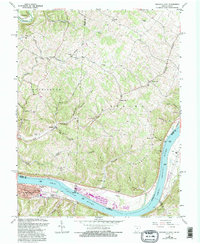
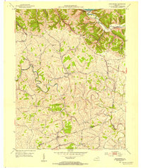
1961 Map of Maysville East
USGS Topo · Published 1995About this map
The Ohio River forms the southern boundary of this region, separating the industrial activity of the Stuart Power Plant from the residential and civic developments of eastern Maysville. North of the river, the landscape transitions into the hills of Huntington and Sprigg townships, where a network of small settlements like Ellsberry and Slickaway are connected by winding ridge roads. This area reflects a quiet mid-century rural character, defined by family-named landmarks and scattered spiritual centers such as Hiett Chapel and Ravenscroft Chapel.
Find a feature on this map
67 named features on this map. Tap any name to fly to it.
Don’t see what you’re looking for? This feature index may not catch every label — zoom into the map to look around manually.
Map Details
Editions of this 1961 Maysville East Map
4 editions found
Other maps of this area

1915 · Maysville
USGS Topo · 1:62,500

1918 · Seaman
USGS Topo · 1:62,500

1919 · Maysville
USGS Topo · 1:62,500

1928 · Higginsport
USGS Topo · 1:48,000

1929 · Springdale
USGS Topo · 1:48,000

1931 · Higginsport
USGS Topo · 1:62,500

1935 · Springdale
USGS Topo · 1:62,500

1952 · Maysville East
USGS Topo · 1:24,000

1952 · Maysville West
USGS Topo · 1:24,000
1952 · Orangeburg
USGS Topo · 1:24,000