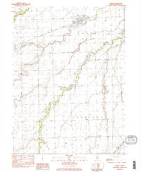
1983 Map of Mazon
USGS Topo · Published 1983About this map
The Mazon village center sits at the crossroads of early 1980s Grundy County agriculture and industry, positioned where the Santa Fe railroad line meets the Mazon River. The landscape is defined by the winding course of the West Fork Mazon River and its various tributaries, including Sucker Slough and Gooseberry Creek. This area of north-central Illinois shows a high density of small-scale rural landmarks that serve as essential markers for local history and genealogy research.
Find a feature on this map
32 named features on this map. Tap any name to fly to it.
Don’t see what you’re looking for? This feature index may not catch every label — zoom into the map to look around manually.
Map Details
Editions of this 1983 Mazon Map
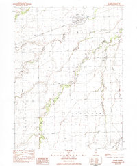
2 editions found
Other maps of this area

1892 · Morris
USGS Topo · 1:62,500

1892 · Marseilles
USGS Topo · 1:62,500

1916 · Marseilles
USGS Topo · 1:62,500

1918 · Morris
USGS Topo · 1:62,500

1940 · Marseilles
USGS Topo · 1:62,500

1948 · Dwight
USGS Topo · 1:62,500

1950 · Dwight
USGS Topo · 1:62,500

1953 · Morris
USGS Topo · 1:24,000

1953 · Coal City
USGS Topo · 1:24,000
1954 · Morris
USGS Topo · 1:62,500