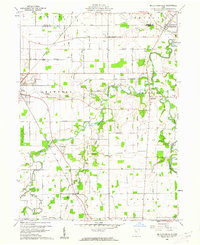
1960 Map of Mc Cutchenville
USGS Topo · Published 1962About this map
McCutchenville stands at the northern edge of this Wyandot County landscape, where the Sandusky River begins its meandering course through a terrain defined by the Old Indian Treaty Boundary Road. The map documents a mid-century rural economy where traditional agriculture coexists with industrial sites like the quarry near Big Spring and scattered oil wells. The presence of the County Home and several community anchors like St Joseph Ch and the Drive-in Theater near Lovell illustrates the social fabric of the era.
Find a feature on this map
53 named features on this map. Tap any name to fly to it.
Don’t see what you’re looking for? This feature index may not catch every label — zoom into the map to look around manually.
Map Details
Editions of this 1960 Mc Cutchenville Map
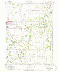
2 editions found
Other maps of this area

1901 · Fostoria
USGS Topo · 1:62,500

1903 · Fostoria
USGS Topo · 1:62,500

1906 · Sycamore
USGS Topo · 1:62,500

1906 · Tiffin
USGS Topo · 1:62,500

1907 · Upper Sandusky
USGS Topo · 1:62,500

1950 · Marion
USGS Topo · 1:250,000

1956 · Toledo
USGS Topo · 1:250,000

1960 · Sycamore
USGS Topo · 1:24,000

1960 · Tiffin South
USGS Topo · 1:24,000

1960 · Alvada
USGS Topo · 1:24,000