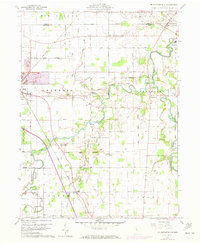
1960 Map of Mc Cutchenville
USGS Topo · Published 1973About this map
The Sandusky River meanders through this agricultural landscape at the border of Seneca and Wyandot counties, defining the eastern edge of a region shaped by early surveying and transit routes. The presence of the Old Indian Treaty Boundary and the accompanying Old Indian Treaty Boundary Road serves as a tangible reminder of the 19th-century displacement and land divisions that preceded the grid of roads seen here today. Small communities like McCutchenville and Tymochtee anchor the map, while rural life is marked by several family-named burial grounds including Knowlton Cem and Baker Cem.
Find a feature on this map
60 named features on this map. Tap any name to fly to it.
Don’t see what you’re looking for? This feature index may not catch every label — zoom into the map to look around manually.
Map Details
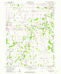
Editions of this 1960 Mc Cutchenville Map
2 editions found
Other maps of this area

1901 · Fostoria
USGS Topo · 1:62,500

1903 · Fostoria
USGS Topo · 1:62,500

1906 · Sycamore
USGS Topo · 1:62,500

1906 · Tiffin
USGS Topo · 1:62,500

1907 · Upper Sandusky
USGS Topo · 1:62,500

1950 · Marion
USGS Topo · 1:250,000

1956 · Toledo
USGS Topo · 1:250,000

1960 · Sycamore
USGS Topo · 1:24,000

1960 · Tiffin South
USGS Topo · 1:24,000

1960 · Alvada
USGS Topo · 1:24,000