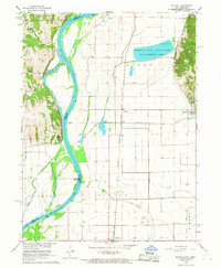
1966 Map of Mc Paul
USGS Topo · Published 1968About this map
The Missouri River forms the central spine of this mid-1960s survey, separating the high East Rock Bluffs of Nebraska from the flat bottomlands of Iowa. The landscape is defined by the efforts to manage the river's path and drainage, evidenced by a dense network of man-made waterways like Plum Creek Ditch, Lateral Ditch, and Possum Ditch. On the Iowa side, the Forneys Lake State Game Management Area stands as a significant hydrological feature near the base of the eastern bluffs.
Find a feature on this map
38 named features on this map. Tap any name to fly to it.
Don’t see what you’re looking for? This feature index may not catch every label — zoom into the map to look around manually.
Map Details
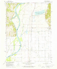
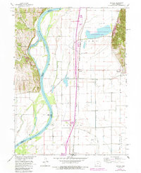
Editions of this 1966 Mc Paul Map
3 editions found
Other maps of this area

1907 · Nebraska City
USGS Topo · 1:62,500

1935 · Nehawka
USGS Topo · 1:48,000

1939 · Hamburg
USGS Topo · 1:62,500

1940 · Nehawka
USGS Topo · 1:62,500

1941 · Hamburg
USGS Topo · 1:62,500

1955 · Nebraska City
USGS Topo · 1:250,000

1956 · Murray
USGS Topo · 1:24,000

1956 · Rock Bluff
USGS Topo · 1:24,000

1957 · Nebraska City
USGS Topo · 1:250,000

1957 · Tabor
USGS Topo · 1:24,000