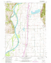
1966 Map of Mc Paul
USGS Topo · Published 1984About this map
The Missouri River defines the western edge of this landscape, its shifting channel creating a complex of backwaters and chutes like East Chute and West Chute. This mid-century environment is marked by an extensive system of drainage ditches, including the Plum Creek Ditch and Mustard Ditch, designed to manage the fertile bottomlands of Benton and Scott townships.
Find a feature on this map
37 named features on this map. Tap any name to fly to it.
Don’t see what you’re looking for? This feature index may not catch every label — zoom into the map to look around manually.
Map Details
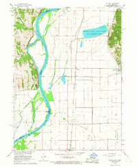
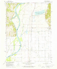
Editions of this 1966 Mc Paul Map
3 editions found
Other maps of this area

1907 · Nebraska City
USGS Topo · 1:62,500

1935 · Nehawka
USGS Topo · 1:48,000

1939 · Hamburg
USGS Topo · 1:62,500

1940 · Nehawka
USGS Topo · 1:62,500

1941 · Hamburg
USGS Topo · 1:62,500

1955 · Nebraska City
USGS Topo · 1:250,000

1956 · Murray
USGS Topo · 1:24,000

1956 · Rock Bluff
USGS Topo · 1:24,000

1957 · Nebraska City
USGS Topo · 1:250,000

1957 · Tabor
USGS Topo · 1:24,000