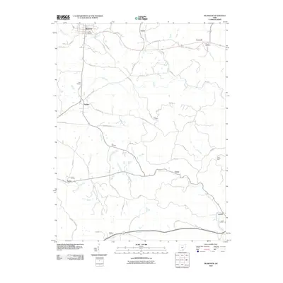
2010 Map of McArthur
USGS Topo · Published 2010About this map
McArthur serves as the focal point of this Vinton County survey, where the township and county road networks converge among the forks of the Raccoon Creek watershed. The landscape is defined by the winding paths of Puncheon Fork and Elk Fork, which dictate the placement of early settlements like Vinton and Prattsville. For genealogists, the map is remarkably dense with burial grounds, including the Old McArthur Cemetery, Lincoln Cemetery, and Zion Cemetery, offering a clear view of the area's ancestral footprint.
Find a feature on this map
54 named features on this map. Tap any name to fly to it.
Don’t see what you’re looking for? This feature index may not catch every label — zoom into the map to look around manually.
Map Details
Editions of this 2010 McArthur Map
This is the sole edition of this map. No revisions or reprints were ever made.
Other maps of this area

1904 · Zaleski
USGS Topo · 1:62,500

1905 · Wilkesville
USGS Topo · 1:62,500

1907 · Zaleski
USGS Topo · 1:62,500

1908 · Wilkesville
USGS Topo · 1:62,500

1910 · Laurelville
USGS Topo · 1:62,500

1912 · Laurelville
USGS Topo · 1:62,500

1913 · Jackson
USGS Topo · 1:62,500

1944 · Jackson
USGS Topo · 1:62,500

1944 · Laurelville
USGS Topo · 1:62,500

1947 · Columbus
USGS Topo · 1:250,000