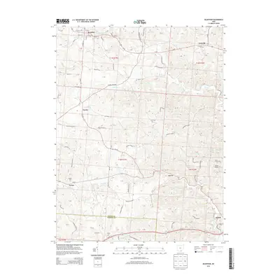
2013 Map of McArthur
USGS Topo · Published 2013About this map
McArthur serves as the focal point of this Vinton County survey, situated at the junction of several key routes including Us-50 and Oh-93. The town's historic core is detailed with street names like S Market St and E High St, while the Old McArthur Cem marks the early settlement's heritage. To the south and east, the landscape transitions into a network of creek valleys and hollows, including Pierce Hollow and the drainage of Puncheon Fork.
Find a feature on this map
72 named features on this map. Tap any name to fly to it.
Don’t see what you’re looking for? This feature index may not catch every label — zoom into the map to look around manually.
Map Details
Editions of this 2013 McArthur Map
This is the sole edition of this map. No revisions or reprints were ever made.
Other maps of this area

1904 · Zaleski
USGS Topo · 1:62,500

1905 · Wilkesville
USGS Topo · 1:62,500

1907 · Zaleski
USGS Topo · 1:62,500

1908 · Wilkesville
USGS Topo · 1:62,500

1910 · Laurelville
USGS Topo · 1:62,500

1912 · Laurelville
USGS Topo · 1:62,500

1913 · Jackson
USGS Topo · 1:62,500

1944 · Jackson
USGS Topo · 1:62,500

1944 · Laurelville
USGS Topo · 1:62,500

1947 · Columbus
USGS Topo · 1:250,000