
1959 Map of McCarthy B-5
USGS Topo · Published 1964About this map
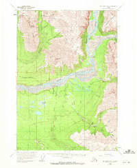
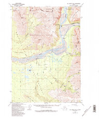
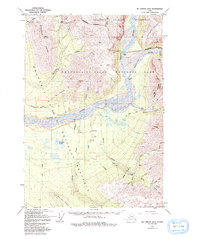
Industrial mining activity and remote transport networks define this portion of the Wrangell Mountains at the close of the 1950s. The northern reaches are dominated by high-elevation extraction sites like Green Butte Mine, connected via a Tramway and Aerial Tram to facilitate movement over steep ridges including Porphyry Mountain. To the south, the wide braided channels of the Nizina River and Chitistone River serve as the geographical anchors for several small camps and specialized aviation infrastructure.
Find a feature on this map
50 named features on this map. Tap any name to fly to it.
Don’t see what you’re looking for? This feature index may not catch every label — zoom into the map to look around manually.
Map Details
Editions of this 1959 McCarthy B-5 Map
4 editions found
Other maps of this area

1951 · McCarthy
USGS Topo · 1:250,000

1959 · McCarthy B-6
USGS Topo · 1:63,360

1959 · McCarthy A-4
USGS Topo · 1:63,360

1959 · McCarthy C-5
USGS Topo · 1:63,360

1959 · McCarthy C-4
USGS Topo · 1:63,360

1959 · McCarthy B-4
USGS Topo · 1:63,360

1959 · McCarthy A-5
USGS Topo · 1:63,360

1959 · McCarthy A-6
USGS Topo · 1:63,360

1959 · McCarthy C-6
USGS Topo · 1:63,360

1960 · McCarthy
USGS Topo · 1:250,000