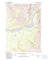
1959 Map of McCarthy B-5
USGS Topo · Published 1992About this map
The high-alpine mining landscape of the Wrangell Mountains is captured in this late-1950s survey, documenting the industrial remains and seasonal settlements of the region. Green Butte Mine and the Nikolai Mine stand as significant markers of the copper and gold fever that drove development in this remote interior. Evidence of complex logistics is found in the Aerial Tram and Tramway installations near National Creek, which were essential for moving ore across the steep terrain of Bonanza Ridge.
Find a feature on this map
61 named features on this map. Tap any name to fly to it.
Don’t see what you’re looking for? This feature index may not catch every label — zoom into the map to look around manually.
Map Details
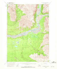
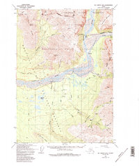
Editions of this 1959 McCarthy B-5 Map
4 editions found
Other maps of this area

1951 · McCarthy
USGS Topo · 1:250,000

1959 · McCarthy B-6
USGS Topo · 1:63,360

1959 · McCarthy A-4
USGS Topo · 1:63,360

1959 · McCarthy C-5
USGS Topo · 1:63,360

1959 · McCarthy B-5
USGS Topo · 1:63,360

1959 · McCarthy C-4
USGS Topo · 1:63,360

1959 · McCarthy B-4
USGS Topo · 1:63,360

1959 · McCarthy A-5
USGS Topo · 1:63,360

1959 · McCarthy A-6
USGS Topo · 1:63,360

1959 · McCarthy C-6
USGS Topo · 1:63,360