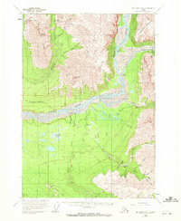
1959 Map of McCarthy B-5
USGS Topo · Published 1972About this map
Green Butte Mine and the Nikolai Mine are prominent fixtures in this landscape of high-altitude resource extraction, where the mountain slopes meet the wide, braided channels of the Nizina River. The era of heavy mechanical mining is evident in the presence of Dredge Tailings along the watercourses and an Aerial Tram serving Green Butte. Transportation in this isolated region relied on the McCarthy May Creek Road and specialized infrastructure like the May Creek Landing Strip to reach the settlement at May Creek.
Find a feature on this map
57 named features on this map. Tap any name to fly to it.
Don’t see what you’re looking for? This feature index may not catch every label — zoom into the map to look around manually.
Map Details
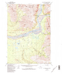
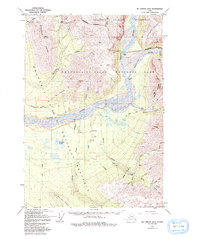
Editions of this 1959 McCarthy B-5 Map
4 editions found
Other maps of this area

1951 · McCarthy
USGS Topo · 1:250,000

1959 · McCarthy B-6
USGS Topo · 1:63,360

1959 · McCarthy A-4
USGS Topo · 1:63,360

1959 · McCarthy C-5
USGS Topo · 1:63,360

1959 · McCarthy B-5
USGS Topo · 1:63,360

1959 · McCarthy C-4
USGS Topo · 1:63,360

1959 · McCarthy B-4
USGS Topo · 1:63,360

1959 · McCarthy A-5
USGS Topo · 1:63,360

1959 · McCarthy A-6
USGS Topo · 1:63,360

1959 · McCarthy C-6
USGS Topo · 1:63,360