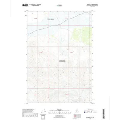
2017 Map of McCarthy C-2 NW
USGS Topo · Published 2017About this map
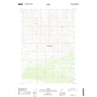
Wrangell-Saint Elias National Park and the adjacent Wrangell-Saint Elias National Preserve cover the vast majority of this landscape, which transitions from a wide river valley in the north to high mountain peaks in the south. The massive White River braided drainage system dominates the northern portion, fed by tributaries like Sheep Creek and Wiley Cr that descend from the high country. In the southernmost section, the elevation rises sharply toward the summit of Mt Sulzer, a prominent landmark that defines the topography of this part of the Alaska-Valdez-Cordova Census Area. The lack of roads or developed settlements highlights the wild and un-modified character of the terrain during this period.
Find a feature on this map
13 named features on this map. Tap any name to fly to it.
Don’t see what you’re looking for? This feature index may not catch every label — zoom into the map to look around manually.
Map Details
Editions of this 2017 McCarthy C-2 NW Map
This is the sole edition of this map. No revisions or reprints were ever made.
Other maps of this area

1951 · McCarthy
USGS Topo · 1:250,000

1959 · McCarthy D-3
USGS Topo · 1:63,360

1959 · McCarthy D-2
USGS Topo · 1:63,360

1959 · McCarthy C-3
USGS Topo · 1:63,360

1959 · McCarthy C-2
USGS Topo · 1:63,360

1960 · McCarthy
USGS Topo · 1:250,000
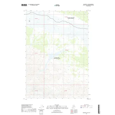
2017 · McCarthy C-2 NE
USGS Topo · 1:25,000
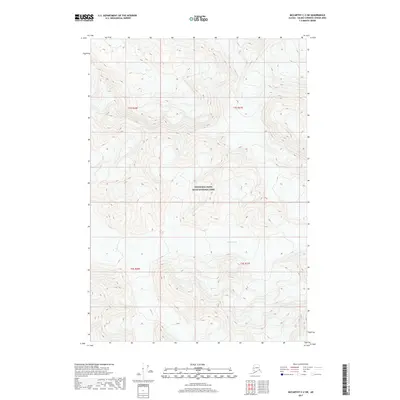
2017 · McCarthy C-2 SW
USGS Topo · 1:25,000
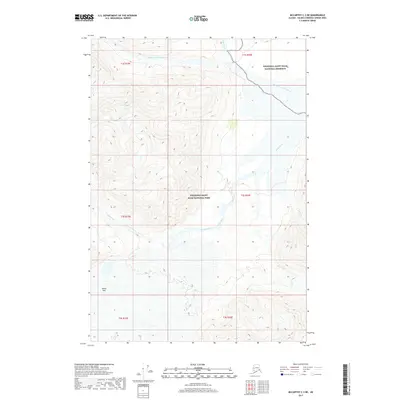
2017 · McCarthy C-3 NE
USGS Topo · 1:25,000
2017 · McCarthy D-2 SE
USGS Topo · 1:25,000