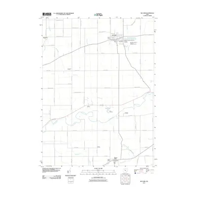
2010 Map of McComb
USGS Topo · Published 2010About this map
McComb serves as the primary hub of this Northwest Ohio landscape, characterized by its grid of township and county roads. The village is anchored by the McComb Post Office and nearby McComb Union Cemetery, with the local recreation and water infrastructure highlighted by the Shady Acres Golf Course and the McComb Upground Reservoir Number One. Further south, the village of Benton Ridge sits near the winding banks of Ottawa Creek, while the hamlet of Shawtown occupies the northwestern corner of the quadrangle.
Find a feature on this map
62 named features on this map. Tap any name to fly to it.
Don’t see what you’re looking for? This feature index may not catch every label — zoom into the map to look around manually.
Map Details
Editions of this 2010 McComb Map
This is the sole edition of this map. No revisions or reprints were ever made.
Other maps of this area

1903 · Findlay
USGS Topo · 1:62,500

1905 · Arlington
USGS Topo · 1:62,500

1907 · Bluffton
USGS Topo · 1:62,500

1907 · Arlington
USGS Topo · 1:24,000

1950 · Marion
USGS Topo · 1:250,000

1956 · Toledo
USGS Topo · 1:250,000

1960 · Deshler
USGS Topo · 1:24,000

1960 · Bluffton
USGS Topo · 1:24,000

1960 · Rawson
USGS Topo · 1:24,000

1960 · North Baltimore
USGS Topo · 1:24,000