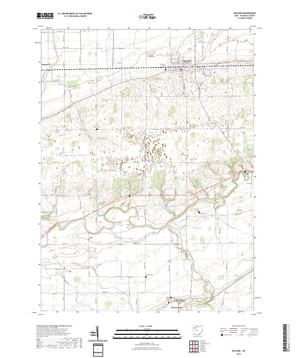
2023 Map of McComb
USGS Topo · Published 2023About this map
McComb serves as the primary hub of this Northwest Ohio landscape, situated where Rader Creek and the southern edge of McComb Upground Reservoir Number One meet. The map reveals a high density of ancestral burial sites, including the McComb Union Cem, Horn Family Cem, and Dukes Cem, which are scattered throughout the agricultural sections of t2n r9e and t2n r10e. This network of family and community cemeteries provides a clear view of the region's early settlement patterns and genealogical footprint.
Find a feature on this map
81 named features on this map. Tap any name to fly to it.
Don’t see what you’re looking for? This feature index may not catch every label — zoom into the map to look around manually.
Map Details
Editions of this 2023 McComb Map
This is the sole edition of this map. No revisions or reprints were ever made.
Other maps of this area

1903 · Findlay
USGS Topo · 1:62,500

1905 · Arlington
USGS Topo · 1:62,500

1907 · Bluffton
USGS Topo · 1:62,500

1907 · Arlington
USGS Topo · 1:24,000

1950 · Marion
USGS Topo · 1:250,000

1956 · Toledo
USGS Topo · 1:250,000

1960 · Deshler
USGS Topo · 1:24,000

1960 · Bluffton
USGS Topo · 1:24,000

1960 · Rawson
USGS Topo · 1:24,000

1960 · North Baltimore
USGS Topo · 1:24,000