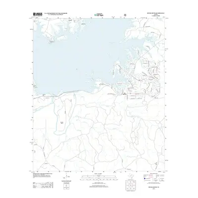
2013 Map of McGee Bend
USGS Topo · Published 2013About this map
Sam Rayburn Reservoir dominates this East Texas landscape, its expansive waters defining the recreational and residential character of the area. The northern reaches of the reservoir are punctuated by several public spaces, including Powell Park Campground and Rayburn Park Campground, while the settlement of Powell sits just inland from the western shoreline. To the south, the community of Sam Rayburn has developed a dense network of residential streets such as Wingate Blvd and Lakeshore Dr that follow the intricate peninsulas of the lake.
Find a feature on this map
82 named features on this map. Tap any name to fly to it.
Don’t see what you’re looking for? This feature index may not catch every label — zoom into the map to look around manually.
Map Details
Editions of this 2013 McGee Bend Map
This is the sole edition of this map. No revisions or reprints were ever made.
Other maps of this area
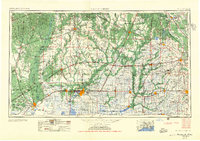
1952 · Lake Charles
USGS Topo · 1:250,000

1953 · Alexandria
USGS Topo · 1:250,000

1953 · Palestine
USGS Topo · 1:250,000
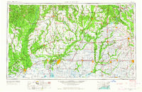
1954 · Lake Charles
USGS Topo · 1:250,000

1954 · Beaumont
USGS Topo · 1:250,000

1955 · Alexandria
USGS Topo · 1:250,000
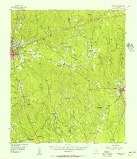
1955 · Roganville
USGS Topo · 1:62,500
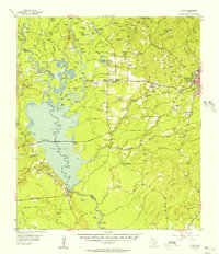
1955 · Curtis
USGS Topo · 1:62,500

1957 · Beaumont
USGS Topo · 1:250,000

1957 · Palestine
USGS Topo · 1:250,000