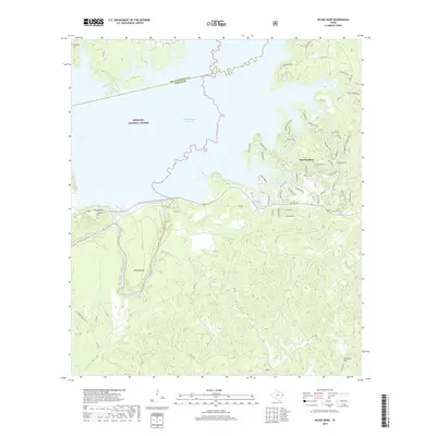
2019 Map of McGee Bend
USGS Topo · Published 2019About this map
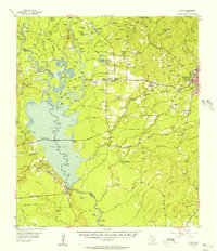
The Sam Rayburn Reservoir dominates this landscape, where the waters of the Angelina River meet the borders of the Angelina National Forest. This modern record of the shoreline in San Augustine and Jasper counties illustrates a region defined by recreational development and managed timberlands. Residential clusters such as Sam Rayburn and McGee Bend are linked by a network of Farm to Market roads, including FM 1007 and FM 255, which navigate the complex inlets and fingers of the reservoir.
Find a feature on this map
74 named features on this map. Tap any name to fly to it.
Don’t see what you’re looking for? This feature index may not catch every label — zoom into the map to look around manually.
Map Details
Editions of this 2019 McGee Bend Map
This is the sole edition of this map. No revisions or reprints were ever made.
Other maps of this area
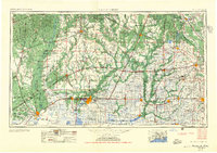
1952 · Lake Charles
USGS Topo · 1:250,000

1953 · Alexandria
USGS Topo · 1:250,000

1953 · Palestine
USGS Topo · 1:250,000
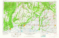
1954 · Lake Charles
USGS Topo · 1:250,000

1954 · Beaumont
USGS Topo · 1:250,000

1955 · Alexandria
USGS Topo · 1:250,000
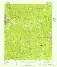
1955 · Roganville
USGS Topo · 1:62,500
1955 · Curtis
USGS Topo · 1:62,500

1957 · Beaumont
USGS Topo · 1:250,000

1957 · Palestine
USGS Topo · 1:250,000