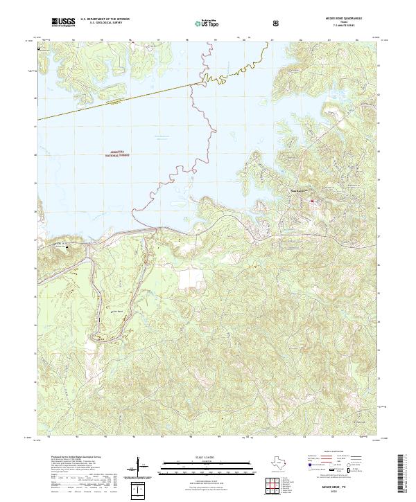
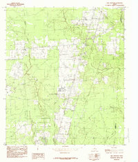
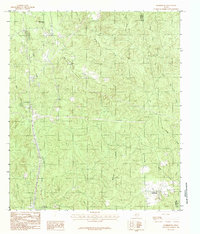
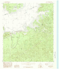
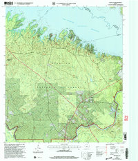
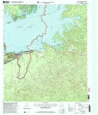
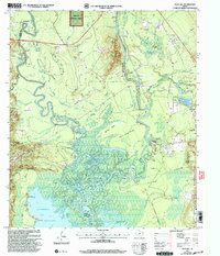
2022 Map of McGee Bend
USGS Topo · Published 2022About this map
The Sam Rayburn Reservoir dominates this landscape on the border of San Augustine Co and Jasper Co, where the impounded waters of the Angelina River meet Ayish Bayou. Much of the shoreline and surrounding terrain is protected within the Angelina National Forest, a region defined by complex creek systems such as Alligator Creek and Beef Cr. Local history is anchored by the small settlement of Sam Rayburn and the prominent McGee Bend, where the reservoir curves around high ground.
Find a feature on this map
77 named features on this map. Tap any name to fly to it.
Don’t see what you’re looking for? This feature index may not catch every label — zoom into the map to look around manually.
Map Details
Editions of this 2022 McGee Bend Map
This is the sole edition of this map. No revisions or reprints were ever made.
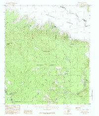
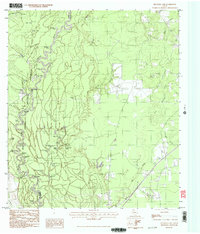
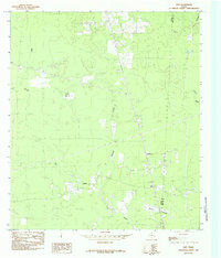
Historical Maps of Powell Through Time
31 maps found
1955 Curtis
Jasper County, TX
1955 Roganville
Jasper County, TX
1984 Beech Grove
Jasper County, TX
1984 Call Junction
Jasper County, TX
1984 Ebenezer
Jasper County, TX
1984 Franklin Lake
Jasper County, TX
1984 Gist
Jasper County, TX
1984 Harrisburg
Jasper County, TX
1984 Jasper East
Jasper County, TX
1984 Jasper West
Jasper County, TX
1984 Magnolia Springs
Jasper County, TX
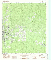
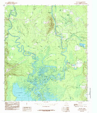
1984 McGee Bend
Jasper County, TX
1984 Pace Hill
Jasper County, TX
1984 Potato Patch Lake
Jasper County, TX
1984 Roganville
Jasper County, TX
2003 Ebenezer
Jasper County, TX
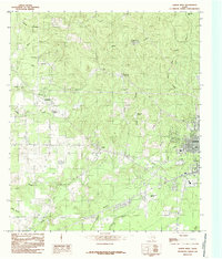
2003 McGee Bend
Jasper County, TX
2003 Pace Hill
Jasper County, TX
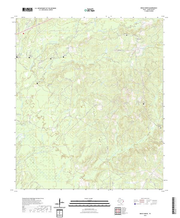
2022 Beech Grove
Jasper County, TX
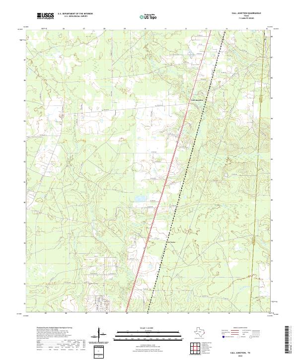
2022 Call Junction
Jasper County, TX
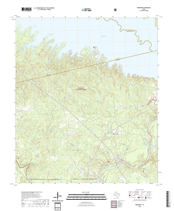
2022 Ebenezer
Jasper County, TX
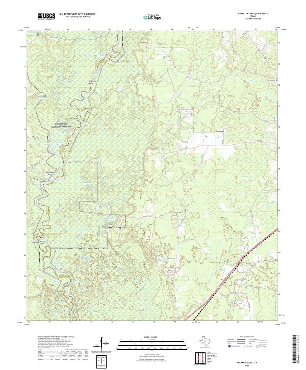
2022 Franklin Lake
Jasper County, TX
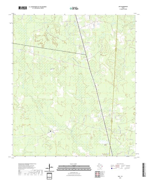
2022 Gist
Jasper County, TX
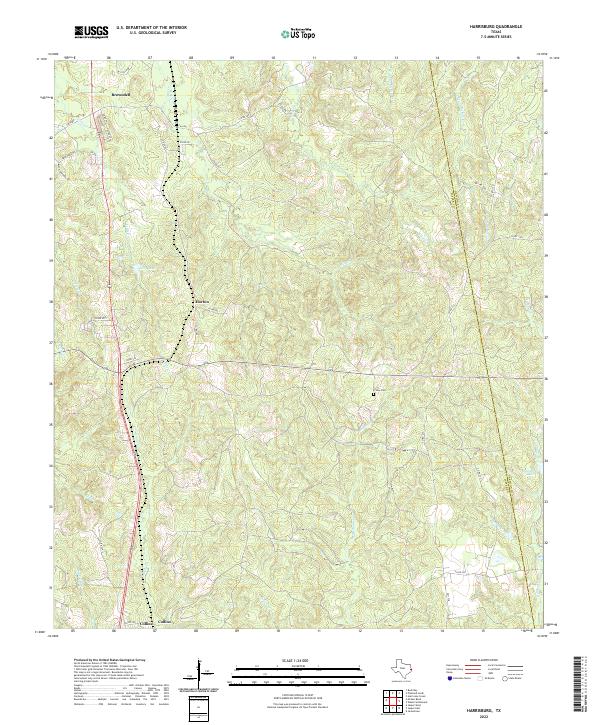
2022 Harrisburg
Jasper County, TX
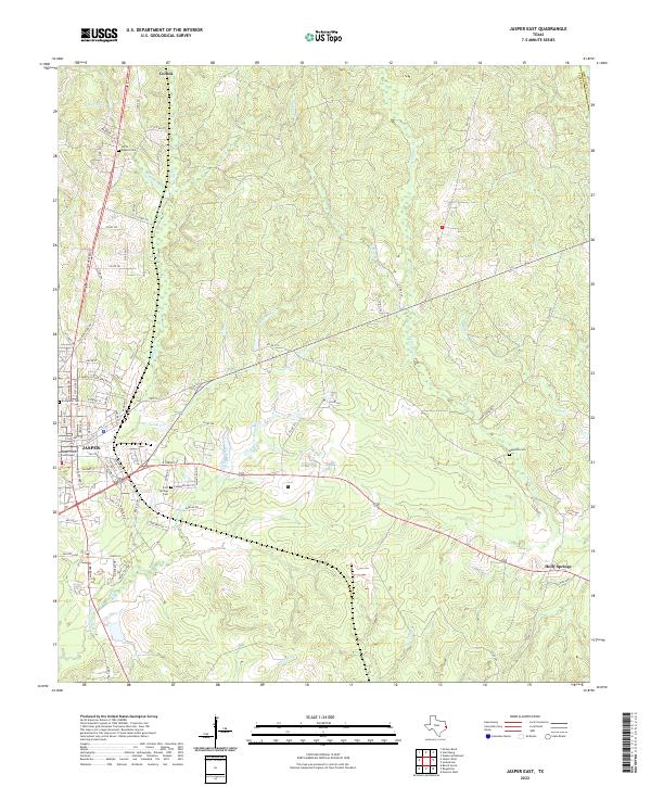
2022 Jasper East
Jasper County, TX
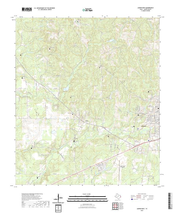
2022 Jasper West
Jasper County, TX
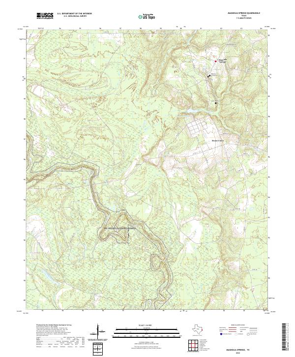
2022 Magnolia Springs
Jasper County, TX
2022 McGee Bend
Jasper County, TX
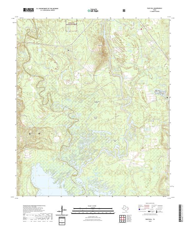
2022 Pace Hill
Jasper County, TX
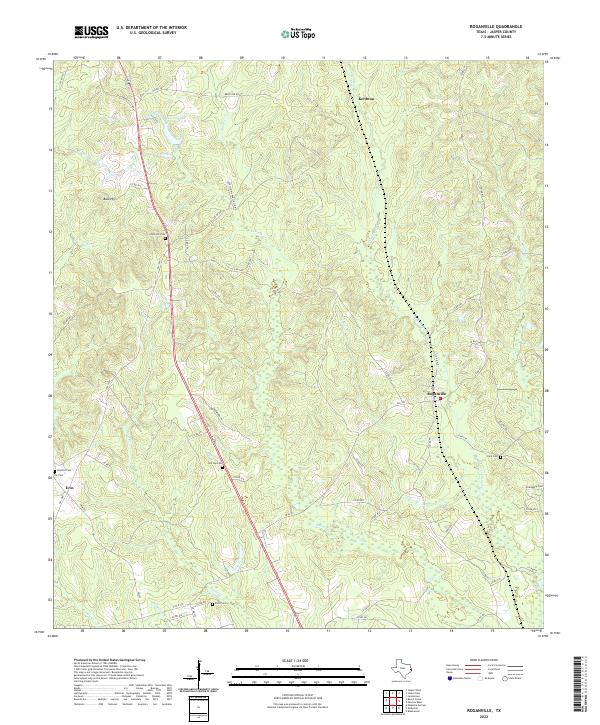
2022 Roganville
Jasper County, TX
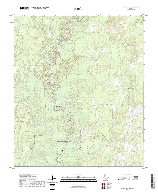
2022 Tater Patch Lake
Jasper County, TX