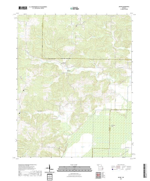
2021 Map of McGee
USGS Topo · Published 2021This historical map portrays the area of McGee in 2021, primarily covering Wayne County as well as portions of Bollinger County and Stoddard County. Featuring a scale of 1:24000, this map provides a highly detailed snapshot of the terrain, roads, buildings, counties, and historical landmarks in the McGee region at the time. Published in 2021, it is the sole known edition of this map.
Map Details
Editions of this 2021 McGee Map
This is the sole edition of this map. No revisions or reprints were ever made.
Historical Maps of Wayne County Through Time
16 maps found
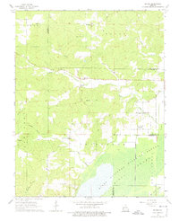
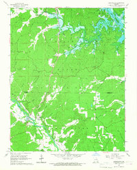
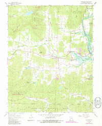
1963 McGee
Wayne County, MO
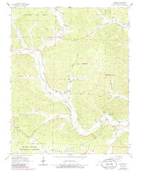
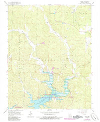
1965 Lowndes
Wayne County, MO
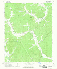
1966 Greenville SW
Wayne County, MO
1966 Hendrickson
Wayne County, MO
1966 Shook
Wayne County, MO
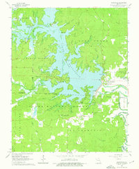
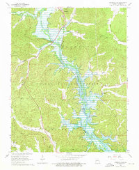
1966 Wappapello
Wayne County, MO
1967 Piedmont SE
Wayne County, MO
1968 Patterson
Wayne County, MO
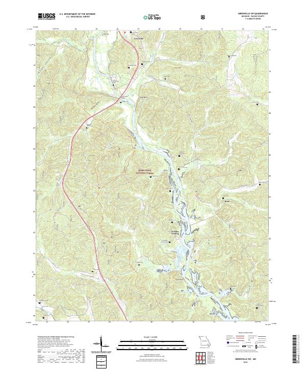
2021 Greenville SW
Wayne County, MO
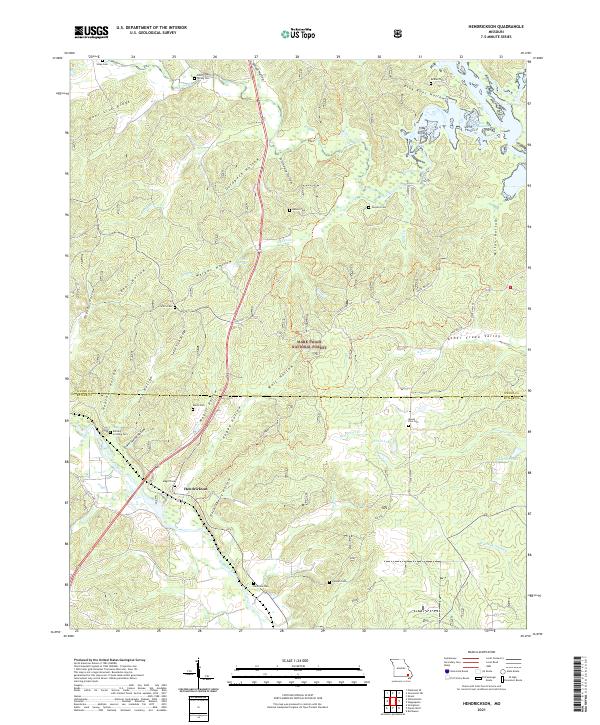
2021 Hendrickson
Wayne County, MO
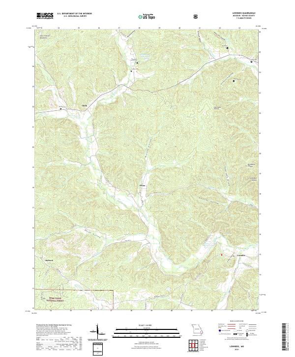
2021 Lowndes
Wayne County, MO
2021 McGee
Wayne County, MO
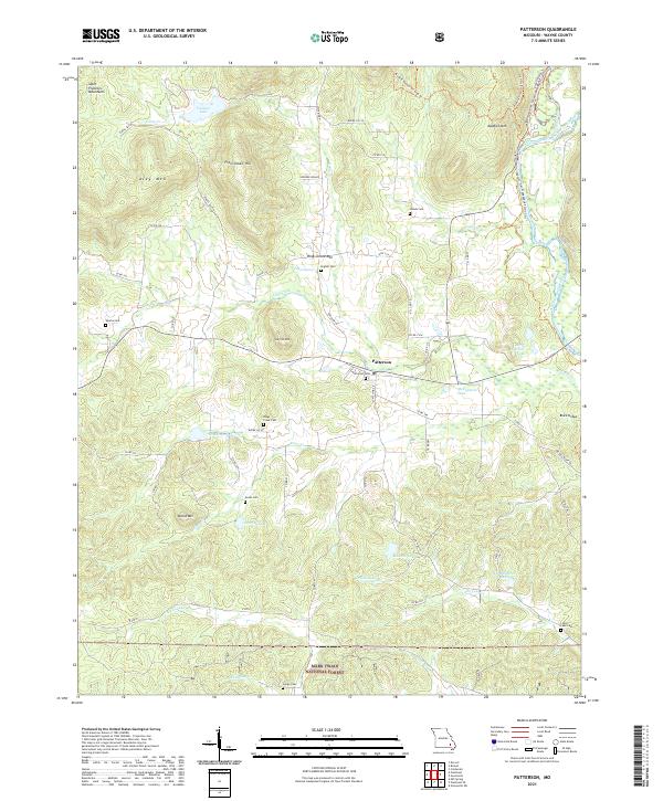
2021 Patterson
Wayne County, MO
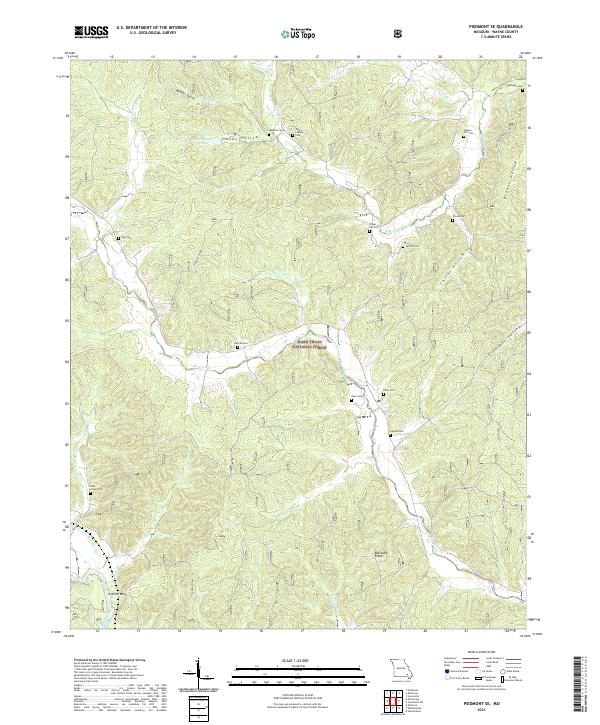
2021 Piedmont SE
Wayne County, MO
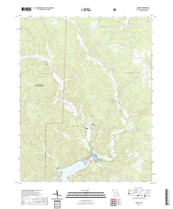
2021 Shook
Wayne County, MO
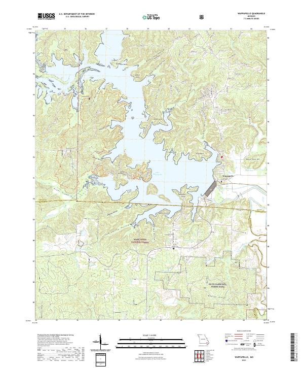
2021 Wappapello
Wayne County, MO