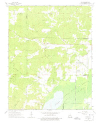
1963 Map of McGee
USGS Topo · Published 1975About this map
McGee serves as the central hub of this 1963 survey, situated along the winding course of McGee Creek where the topography begins to transition toward the lowlands of the Mingo Swamp. The map provides a detailed view of a rural community defined by its spiritual and educational foundations, featuring several country churches such as New Home Ch and Shady Dell Ch, alongside the McGee Sch.
Find a feature on this map
38 named features on this map. Tap any name to fly to it.
Don’t see what you’re looking for? This feature index may not catch every label — zoom into the map to look around manually.
Map Details
Editions of this 1963 McGee Map
2 editions found
Other maps of this area

1934 · Greenville
USGS Topo · 1:62,500

1934 · Puxico
USGS Topo · 1:62,500

1935 · Poplar Bluff
USGS Topo · 1:62,500

1935 · Zalma
USGS Topo · 1:62,500

1939 · Greenville
USGS Topo · 1:62,500

1939 · Puxico
USGS Topo · 1:62,500

1939 · Zalma
USGS Topo · 1:62,500

1939 · Poplar Bluff
USGS Topo · 1:62,500

1949 · Rolla
USGS Topo · 1:250,000

1949 · Poplar Bluff
USGS Topo · 1:62,500