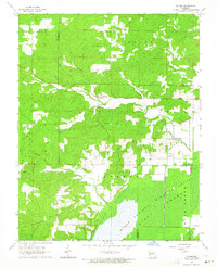
1963 Map of McGee
USGS Topo · Published 1964About this map
McGee serves as the primary hub of this 1963 survey, situated along the winding course of McGee Creek. The landscape reflects a deeply rural social structure of the early 1960s, defined by numerous country churches and their associated burying grounds, such as Corinth Ch Cem and Mt Pleasant Cem. The terrain is deeply dissected by a network of waterways including Brush Creek, Rocky Creek, and Gribler Creek, which carve out local landmarks like Lufker Hollow.
Find a feature on this map
33 named features on this map. Tap any name to fly to it.
Don’t see what you’re looking for? This feature index may not catch every label — zoom into the map to look around manually.
Map Details
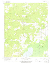
Editions of this 1963 McGee Map
2 editions found
Other maps of this area

1934 · Greenville
USGS Topo · 1:62,500

1934 · Puxico
USGS Topo · 1:62,500

1935 · Poplar Bluff
USGS Topo · 1:62,500

1935 · Zalma
USGS Topo · 1:62,500

1939 · Greenville
USGS Topo · 1:62,500

1939 · Puxico
USGS Topo · 1:62,500

1939 · Zalma
USGS Topo · 1:62,500

1939 · Poplar Bluff
USGS Topo · 1:62,500

1949 · Rolla
USGS Topo · 1:250,000

1949 · Poplar Bluff
USGS Topo · 1:62,500