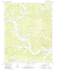
1965 Map of Lowndes
USGS Topo · Published 1985About this map
Lowndes and Hiram anchor this 1960s survey of southeastern Missouri, where the landscape is defined by the sharp convergence of the Mark Twain National Forest and the Coldwater State Forest. The map documents a rural Ozark way of life centered on scattered settlements and valley bottoms, including Clubb along the West Fork and Burbank near the western boundary. Significant for local historians, the sheet identifies numerous community landmarks such as the Hiram Sch, Wesley Chapel, and the New Home Ch, alongside family burial grounds like Graham Cem and Tidwell Cem.
Find a feature on this map
58 named features on this map. Tap any name to fly to it.
Don’t see what you’re looking for? This feature index may not catch every label — zoom into the map to look around manually.
Map Details
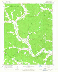
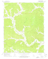
Editions of this 1965 Lowndes Map
3 editions found
Other maps of this area

1930 · Coldwater
USGS Topo · 1:62,500

1933 · Marquand
USGS Topo · 1:62,500

1934 · Greenville
USGS Topo · 1:62,500

1935 · Zalma
USGS Topo · 1:62,500

1938 · Marquand
USGS Topo · 1:62,500

1939 · Greenville
USGS Topo · 1:62,500

1939 · Zalma
USGS Topo · 1:62,500

1949 · Rolla
USGS Topo · 1:250,000

1949 · Coldwater
USGS Topo · 1:62,500

1953 · Rolla
USGS Topo · 1:250,000