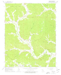
1965 Map of Lowndes
USGS Topo · Published 1977About this map
Lowndes and Hiram anchor this 1960s survey of the Missouri Ozarks, where the terrain is defined by a dense network of valleys such as Hurricane Hollow and Sugarcamp Hollow. The landscape shows a rural economy built around the drainage of Bear Creek and the West Fork of the St. Francis River. Local genealogy is well-preserved through numerous community landmarks, including Hiram Sch and several country churches like Wesley Chapel and New Home Ch.
Find a feature on this map
40 named features on this map. Tap any name to fly to it.
Don’t see what you’re looking for? This feature index may not catch every label — zoom into the map to look around manually.
Map Details
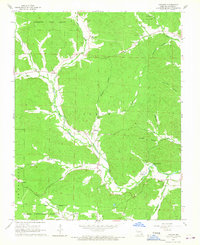
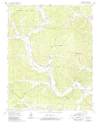
Editions of this 1965 Lowndes Map
3 editions found
Other maps of this area

1930 · Coldwater
USGS Topo · 1:62,500

1933 · Marquand
USGS Topo · 1:62,500

1934 · Greenville
USGS Topo · 1:62,500

1935 · Zalma
USGS Topo · 1:62,500

1938 · Marquand
USGS Topo · 1:62,500

1939 · Greenville
USGS Topo · 1:62,500

1939 · Zalma
USGS Topo · 1:62,500

1949 · Rolla
USGS Topo · 1:250,000

1949 · Coldwater
USGS Topo · 1:62,500

1953 · Rolla
USGS Topo · 1:250,000