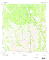
1958 Map of McGrath B-3
USGS Topo · Published 1964About this map
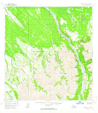
Windy Fork Middle Fork Kuskokwim River flows through this interior landscape, which was mapped from aerial photography captured between 1953 and 1957. The terrain is defined by the braided channel of the Middle Fork Kuskokwim River as it passes the Trimokish Hills in the southern portion of the quadrangle. This 1950s survey reflects a wilderness area without established roads or trails, where geographical naming focuses on the complex drainage systems and primary relief features. The meandering course of Khuchaynik Creek provides a central reference point for the valley floor, illustrating the intricate network of tributaries that feed into the larger Kuskokwim system during this era of mid-century Alaskan topographic mapping.
Find a feature on this map
4 named features on this map. Tap any name to fly to it.
Don’t see what you’re looking for? This feature index may not catch every label — zoom into the map to look around manually.
Map Details
Editions of this 1958 McGrath B-3 Map
2 editions found
Other maps of this area

1949 · McGrath
USGS Topo · 1:250,000

1950 · McGrath
USGS Topo · 1:250,000

1953 · McGrath C-4
USGS Topo · 1:63,360

1954 · McGrath B-4
USGS Topo · 1:63,360

1954 · McGrath A-4
USGS Topo · 1:63,360

1954 · McGrath C-3
USGS Topo · 1:63,360

1958 · McGrath A-2
USGS Topo · 1:63,360

1958 · McGrath B-2
USGS Topo · 1:63,360

1958 · McGrath A-3
USGS Topo · 1:63,360

1958 · McGrath C-2
USGS Topo · 1:63,360