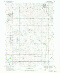
1969 Map of Mead
USGS Topo · Published 1971About this map
Mead and Yutan anchor this late-1960s Saunders County landscape, defined by a complex overlay of institutional and military land use. The sprawling University of Nebraska Field Laboratory occupies a massive footprint in the southern half of the map, characterized by a distinct grid of streets and specialized well sites. To the north, the Nebraska National Guard Training Area and a significant US Military Reservation indicate the region's importance for state and federal defense operations during the Cold War era.
Find a feature on this map
26 named features on this map. Tap any name to fly to it.
Don’t see what you’re looking for? This feature index may not catch every label — zoom into the map to look around manually.
Map Details
Editions of this 1969 Mead Map
4 editions found
Other maps of this area

1893 · Fremont
USGS Topo · 1:125,000

1896 · Fremont
USGS Topo · 1:125,000

1899 · Wahoo
USGS Topo · 1:125,000

1955 · Fremont
USGS Topo · 1:250,000

1957 · Fremont
USGS Topo · 1:250,000

1958 · Fremont
USGS Topo · 1:250,000

1968 · Valley
USGS Topo · 1:24,000
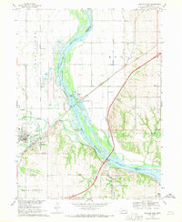
1968 · Ashland East
USGS Topo · 1:24,000

1968 · Leshara
USGS Topo · 1:24,000
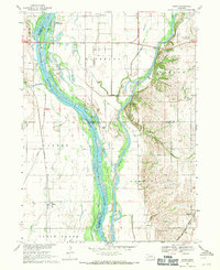
1968 · Wann
USGS Topo · 1:24,000