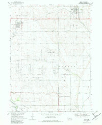
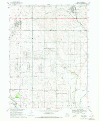
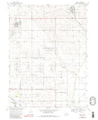
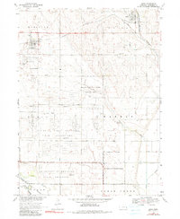
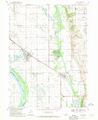
1969 Map of Mead
USGS Topo · Published 1982About this map
The University of Nebraska Field Laboratory dominates this central Saunders County landscape, occupying a sprawling footprint south of Mead. This specialized agricultural and research site is situated alongside significant defense-related land use, including the Nebraska National Guard Training Area and a US Military Reservation. The geography is defined by the transition from upland townships like Marietta and Union down toward the drainages of Clear Creek and Wahoo Creek.
Find a feature on this map
26 named features on this map. Tap any name to fly to it.
Don’t see what you’re looking for? This feature index may not catch every label — zoom into the map to look around manually.
Map Details
Editions of this 1969 Mead Map
4 editions found
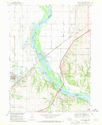
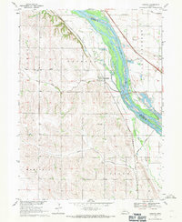
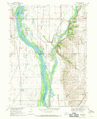
Other maps of this area

1893 · Fremont
USGS Topo · 1:125,000

1896 · Fremont
USGS Topo · 1:125,000

1899 · Wahoo
USGS Topo · 1:125,000

1955 · Fremont
USGS Topo · 1:250,000

1957 · Fremont
USGS Topo · 1:250,000

1958 · Fremont
USGS Topo · 1:250,000
1968 · Valley
USGS Topo · 1:24,000
1968 · Ashland East
USGS Topo · 1:24,000
1968 · Leshara
USGS Topo · 1:24,000
1968 · Wann
USGS Topo · 1:24,000