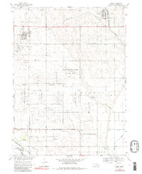
1969 Map of Mead
USGS Topo · Published 1991About this map
The University of Nebraska Field Laboratory dominates the central and southern portions of this landscape, reflecting a significant post-war transition from military use to academic research. Much of this land occupies the former US Military Reservation, with the Reservation Boundary still clearly delineated. The grid system of the Nebraska National Guard Training Area is visible alongside civilian settlements like Mead and Yutan.
Find a feature on this map
30 named features on this map. Tap any name to fly to it.
Don’t see what you’re looking for? This feature index may not catch every label — zoom into the map to look around manually.
Map Details
Editions of this 1969 Mead Map
4 editions found
Other maps of this area

1893 · Fremont
USGS Topo · 1:125,000

1896 · Fremont
USGS Topo · 1:125,000

1899 · Wahoo
USGS Topo · 1:125,000

1955 · Fremont
USGS Topo · 1:250,000

1957 · Fremont
USGS Topo · 1:250,000

1958 · Fremont
USGS Topo · 1:250,000

1968 · Valley
USGS Topo · 1:24,000
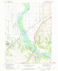
1968 · Ashland East
USGS Topo · 1:24,000

1968 · Leshara
USGS Topo · 1:24,000
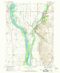
1968 · Wann
USGS Topo · 1:24,000