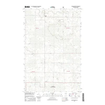
2016 Map of Meadow Brook
USGS Topo · Published 2016About this map
Meadow Brook is situated within a dense network of waterways and managed woodlands in Saint Louis County, defined by the winding course of the Little Fork River and the Sturgeon River. The landscape transitions from the protected southern reaches of the Superior National Forest and Snf lands toward the more open drainage basins of Sand Cr and Gilmore Cr. A notable natural feature is the Hannine Falls, located in the northeast where the terrain breaks along the river. The map illustrates a remote but structured infrastructure, where rural travel depends on local routes like Hwy 22 and numerous named backroads such as Lind Rd and Leander Rd that provide access through the heavy wetlands and timber of northern Minnesota.
Find a feature on this map
31 named features on this map. Tap any name to fly to it.
Don’t see what you’re looking for? This feature index may not catch every label — zoom into the map to look around manually.
Map Details
Editions of this 2016 Meadow Brook Map
This is the sole edition of this map. No revisions or reprints were ever made.
Other maps of this area

1954 · Hibbing
USGS Topo · 1:250,000

1955 · Dark Lake
USGS Topo · 1:24,000

1955 · Dewey Lake NW
USGS Topo · 1:24,000

1957 · Hibbing
USGS Topo · 1:250,000

1958 · Hibbing
USGS Topo · 1:250,000

1964 · Hibbing
USGS Topo · 1:250,000

1964 · Side Lake
USGS Topo · 1:24,000

1964 · Linden Grove
USGS Topo · 1:24,000

1964 · Gheen NW
USGS Topo · 1:24,000

1964 · Gheen
USGS Topo · 1:24,000