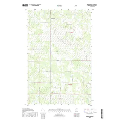
2019 Map of Meadow Brook
USGS Topo · Published 2019About this map
Meadow Brook sits at the heart of this Northwoods landscape, where the Little Fork River and Sturgeon River wind through a dense network of wetlands and forested sections. This area, largely defined by the Superior National Forest in the southern portion, remains a landscape of riverine corridors and scattered rural roads. Notable landmarks like Hannine Falls on the Little Fork River highlight the natural drainage patterns of Saint Louis County. The map details a transition from the structured township grids of t62n r21w and t62n r20w to the more varied terrain around Sand Cr and Gilmore Cr. A complex system of county and township routes, including Hwy 22, Lind Rd, and Leander Rd, provides access to these remote northern Minnesota timberlands and waterways.
Find a feature on this map
31 named features on this map. Tap any name to fly to it.
Don’t see what you’re looking for? This feature index may not catch every label — zoom into the map to look around manually.
Map Details
Editions of this 2019 Meadow Brook Map
This is the sole edition of this map. No revisions or reprints were ever made.
Other maps of this area

1954 · Hibbing
USGS Topo · 1:250,000

1955 · Dark Lake
USGS Topo · 1:24,000

1955 · Dewey Lake NW
USGS Topo · 1:24,000

1957 · Hibbing
USGS Topo · 1:250,000

1958 · Hibbing
USGS Topo · 1:250,000

1964 · Hibbing
USGS Topo · 1:250,000

1964 · Side Lake
USGS Topo · 1:24,000

1964 · Linden Grove
USGS Topo · 1:24,000

1964 · Gheen NW
USGS Topo · 1:24,000

1964 · Gheen
USGS Topo · 1:24,000