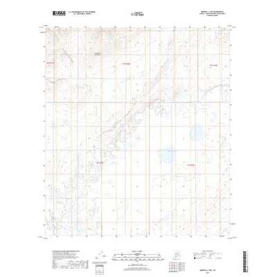
2019 Map of Medfra C-1 NW
USGS Topo · Published 2019About this map
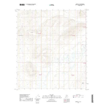
The North Fork Kuskokwim River winds through this interior landscape, marking a complex drainage system within the Kuskokwim Mountains. This modern topographic study reveals a wilderness defined by its water patterns, where the meandering river is joined by Shellman Cr and W Fork Shellman Cr amidst a high-latitude wetland environment. Small, scattered water bodies such as Chleca Lakes characterize the low-lying areas between the ridges, illustrating the hydrological variety of the Yukon-Koyukuk region. In the southeastern corner, the drainage of Edaburge Cr adds to the intricate network of streams that have shaped this terrain over millennia. Without permanent roads or settlements, the map focuses on the raw physical geography of the Alaska interior, providing a precise record of contemporary elevations and shoreline positions.
Find a feature on this map
11 named features on this map. Tap any name to fly to it.
Don’t see what you’re looking for? This feature index may not catch every label — zoom into the map to look around manually.
Map Details
Editions of this 2019 Medfra C-1 NW Map
This is the sole edition of this map. No revisions or reprints were ever made.
Other maps of this area

1950 · Medfra
USGS Topo · 1:250,000

1958 · Medfra D-2
USGS Topo · 1:63,360

1958 · Medfra C-2
USGS Topo · 1:63,360

1958 · Medfra C-1
USGS Topo · 1:63,360

1958 · Medfra D-1
USGS Topo · 1:63,360

1959 · Medfra
USGS Topo · 1:250,000
2019 · Medfra C-2 NE
USGS Topo · 1:25,000
2019 · Medfra D-2 SE
USGS Topo · 1:25,000
2019 · Medfra D-1 SW
USGS Topo · 1:25,000
2019 · Medfra D-1 SE
USGS Topo · 1:25,000