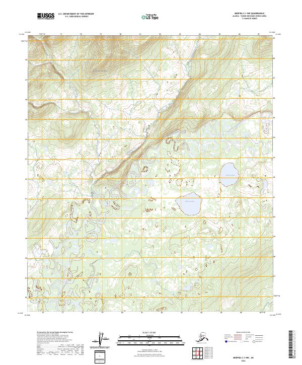
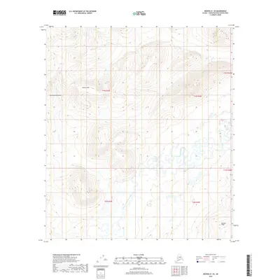
2024 Map of Medfra C-1 NW
USGS Topo · Published 2024About this map
The North Fork Kuskokwim River defines the lower elevations of this Alaskan interior landscape, where the water transitions from the high slopes of the Kuskokwim Mountains into a complex system of oxbows and meanders. The drainage pattern is particularly evident as Shellman Creek and the West Fork Shellman Creek descend from the northern peaks toward the river valley. The eastern portion of the terrain is marked by the Chleca Lakes, a cluster of smaller water bodies that suggest the low-lying, marshy character of the basin floor. This 2024 survey by the U.S. Geological Survey illustrates the intersection of high alpine ridges and the winding alluvial networks that dominate the Yukon-Koyukuk Census Area, providing an essential view of the region's hydrography and elevation before these waters reach larger tributaries.
Find a feature on this map
10 named features on this map. Tap any name to fly to it.
Don’t see what you’re looking for? This feature index may not catch every label — zoom into the map to look around manually.
Map Details
Editions of this 2024 Medfra C-1 NW Map
This is the sole edition of this map. No revisions or reprints were ever made.
Other maps of this area

1950 · Medfra
USGS Topo · 1:250,000

1958 · Medfra D-2
USGS Topo · 1:63,360

1958 · Medfra C-2
USGS Topo · 1:63,360

1958 · Medfra C-1
USGS Topo · 1:63,360

1958 · Medfra D-1
USGS Topo · 1:63,360

1959 · Medfra
USGS Topo · 1:250,000
2019 · Medfra C-2 NE
USGS Topo · 1:25,000
2019 · Medfra D-2 SE
USGS Topo · 1:25,000
2019 · Medfra D-1 SW
USGS Topo · 1:25,000
2019 · Medfra D-1 SE
USGS Topo · 1:25,000