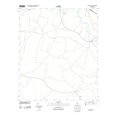
2011 Map of Meldrim SW
USGS Topo · Published 2011About this map
Clyde and Ellabell anchor this 2011 survey of the Georgia lowlands, where the landscape is defined by the winding course of the Ogeechee River and its various tributaries. The map shows a clear division between the rural riverfront settlements and the structured, restricted access routes of the adjacent military installation, marked by numerous thoroughfares such as Fort Stewart Road 43. For family historians, the presence of Clyde Cemetery and Wise Cemetery offers specific points of interest within the quiet, timbered terrain. Notable hydrological features include Gartrell Lake, managed by the Gartrell Lake Dam, and the slow-moving waters of Clyde Creek. River access points like Shuman Lndg and the crossing at Morgans Bridge illustrate the long-standing importance of the Ogeechee as a local transit corridor and boundary.
Find a feature on this map
27 named features on this map. Tap any name to fly to it.
Don’t see what you’re looking for? This feature index may not catch every label — zoom into the map to look around manually.
Map Details
Editions of this 2011 Meldrim SW Map
This is the sole edition of this map. No revisions or reprints were ever made.
Other maps of this area

1918 · Hinesville
USGS Topo · 1:62,500

1920 · Pembroke
USGS Topo · 1:62,500

1920 · Meldrim
USGS Topo · 1:62,500

1920 · Limerick
USGS Topo · 1:62,500

1942 · Meldrim
USGS Topo · 1:62,500

1944 · Hinesville
USGS Topo · 1:62,500

1944 · Limerick
USGS Topo · 1:62,500

1946 · Brunswick
USGS Topo · 1:250,000

1947 · Savannah
USGS Topo · 1:250,000

1948 · Brunswick
USGS Topo · 1:250,000