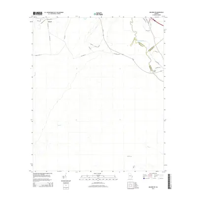
2014 Map of Meldrim SW
USGS Topo · Published 2014About this map
Ellabell anchors the northwestern corner of this Bryan County landscape, where the local road network reflects long-established patterns of settlement along the lowland edges. The area is defined by the winding course of the Ogeechee River, which serves as a natural boundary between Bryan, Effingham, and Chatham counties. Near the river crossing at Morgans Bridge, the terrain is dominated by dense creek systems including Little Cr and Clyde Cr, which drain into the river's swampy margins.
Find a feature on this map
33 named features on this map. Tap any name to fly to it.
Don’t see what you’re looking for? This feature index may not catch every label — zoom into the map to look around manually.
Map Details
Editions of this 2014 Meldrim SW Map
This is the sole edition of this map. No revisions or reprints were ever made.
Other maps of this area

1918 · Hinesville
USGS Topo · 1:62,500

1920 · Pembroke
USGS Topo · 1:62,500

1920 · Meldrim
USGS Topo · 1:62,500

1920 · Limerick
USGS Topo · 1:62,500

1942 · Meldrim
USGS Topo · 1:62,500

1944 · Hinesville
USGS Topo · 1:62,500

1944 · Limerick
USGS Topo · 1:62,500

1946 · Brunswick
USGS Topo · 1:250,000

1947 · Savannah
USGS Topo · 1:250,000

1948 · Brunswick
USGS Topo · 1:250,000