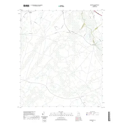
2020 Map of Meldrim SW
USGS Topo · Published 2020About this map
Ellabell anchors the northwestern corner of this coastal plain landscape, where the Lowcountry terrain is defined by the winding course of the Ogeechee River. The river forms a natural boundary between Effingham, Bryan, and Chatham counties, creating a complex network of wetlands and tributaries like Clyde Creek and Little Cr. This modern survey reveals a region characterized by sparse settlement and a road network that reflects long-standing rural land divisions, including routes such as Pine Barren Rd and Wolf Pen Island Rd.
Find a feature on this map
37 named features on this map. Tap any name to fly to it.
Don’t see what you’re looking for? This feature index may not catch every label — zoom into the map to look around manually.
Map Details
Editions of this 2020 Meldrim SW Map
This is the sole edition of this map. No revisions or reprints were ever made.
Other maps of this area

1918 · Hinesville
USGS Topo · 1:62,500

1920 · Pembroke
USGS Topo · 1:62,500

1920 · Meldrim
USGS Topo · 1:62,500

1920 · Limerick
USGS Topo · 1:62,500

1942 · Meldrim
USGS Topo · 1:62,500

1944 · Hinesville
USGS Topo · 1:62,500

1944 · Limerick
USGS Topo · 1:62,500

1946 · Brunswick
USGS Topo · 1:250,000

1947 · Savannah
USGS Topo · 1:250,000

1948 · Brunswick
USGS Topo · 1:250,000