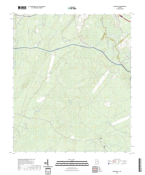
2024 Map of Meldrim SW
USGS Topo · Published 2024About this map
Fort Stewart occupies the central and southern expanse of this landscape, where the wooded lowlands are drained by Clyde Creek and Malden Branch. To the north, the community of Ellabell sits near the headwaters of Little Creek and Gartrell Lake. The terrain is defined by its proximity to the Ogeechee River, which forms a significant county boundary on the eastern edge of the quadrangle. Rural roads like Pine Barren Rd and Pine Barren Loop cut through the dense vegetation, connecting isolated homesteads and landings such as Shuman Lndg. Evidence of earlier settlement remains in the form of Clyde Cem and Wise Cem, providing valuable points of interest for genealogists and local historians studying the families who lived along the river and creek bottoms before the establishment of the military reservation.
Find a feature on this map
37 named features on this map. Tap any name to fly to it.
Don’t see what you’re looking for? This feature index may not catch every label — zoom into the map to look around manually.
Map Details
Editions of this 2024 Meldrim SW Map
This is the sole edition of this map. No revisions or reprints were ever made.
Other maps of this area

1918 · Hinesville
USGS Topo · 1:62,500

1920 · Pembroke
USGS Topo · 1:62,500

1920 · Meldrim
USGS Topo · 1:62,500

1920 · Limerick
USGS Topo · 1:62,500

1942 · Meldrim
USGS Topo · 1:62,500

1944 · Hinesville
USGS Topo · 1:62,500

1944 · Limerick
USGS Topo · 1:62,500

1946 · Brunswick
USGS Topo · 1:250,000

1947 · Savannah
USGS Topo · 1:250,000

1948 · Brunswick
USGS Topo · 1:250,000