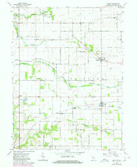
1962 Map of Mellott
USGS Topo · Published 1980About this map
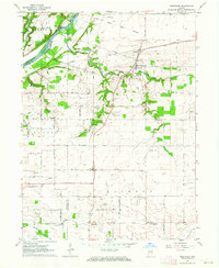
Big Shawnee Creek meanders through the northern reaches of Fountain County, carving a path past the small settlement of Rob Roy and a notable Covered Bridge. This rural landscape is defined by its agricultural townships—Shawnee, Richland, Van Buren, and Cain—where isolated schoolhouses like Twp Sch and local congregations at Union Ch and Campbell Chapel once served as the social anchors for scattered farmsteads. The mid-century infrastructure of the Norfolk and Western railroad corridor cuts through Mellott, while smaller crossroads like Hunter Corner and Stephens Crossing mark the intersections of a strictly gridded road system.
Find a feature on this map
33 named features on this map. Tap any name to fly to it.
Don’t see what you’re looking for? This feature index may not catch every label — zoom into the map to look around manually.
Map Details
Editions of this 1962 Mellott Map
2 editions found
Other maps of this area

1953 · Danville
USGS Topo · 1:250,000

1955 · Danville
USGS Topo · 1:250,000

1956 · Danville
USGS Topo · 1:250,000

1958 · Stonebluff
USGS Topo · 1:24,000
1958 · Veedersburg
USGS Topo · 1:24,000

1962 · Williamsport
USGS Topo · 1:24,000
1962 · Waynetown
USGS Topo · 1:24,000
1962 · Mellott
USGS Topo · 1:24,000
1962 · Westpoint
USGS Topo · 1:24,000
1962 · Attica
USGS Topo · 1:24,000