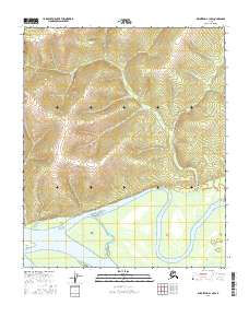
2016 Map of Melozitna A-1 NW
USGS Topo · Published 2016About this map
Liner Island and Flora Island sit within a massive river system in this remote Alaskan wilderness, captured in 2016 by the U.S. Geological Survey. The landscape is dominated by complex topographical contours and the shifting boundaries of the riverbed, including prominent features like Dicks Point. Surveyed across townships t3s r26e, t3s r27e, t4s r26e, and t4s r27e, the map illustrates a terrain where water and land are in constant flux. The lack of man-made structures or roads emphasizes the isolation of this interior region, providing an essential record of the natural hydrography and elevation for researchers tracking environmental changes or navigating the Yukon-Koyukuk river networks.
Find a feature on this map
7 named features on this map. Tap any name to fly to it.
Don’t see what you’re looking for? This feature index may not catch every label — zoom into the map to look around manually.
Map Details
Editions of this 2016 Melozitna A-1 NW Map
This is the sole edition of this map. No revisions or reprints were ever made.
Other maps of this area

1951 · Melozitna
USGS Topo · 1:250,000

1952 · Melozitna A-2
USGS Topo · 1:63,360

1952 · Melozitna A-1
USGS Topo · 1:63,360

1953 · Melozitna A-2
USGS Topo · 1:63,360

1956 · Melozitna B-2
USGS Topo · 1:63,360

1956 · Melozitna B-1
USGS Topo · 1:63,360

1956 · Melozitna
USGS Topo · 1:250,000
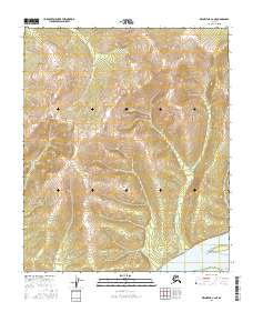
2016 · Melozitna A-2 NE
USGS Topo · 1:25,000
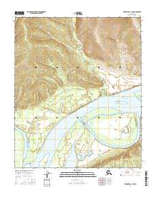
2016 · Melozitna A-1 NE
USGS Topo · 1:25,000
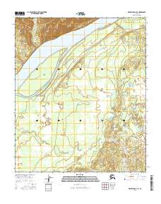
2016 · Melozitna A-2 SE
USGS Topo · 1:25,000