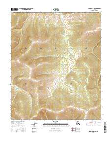
2016 Map of Melozitna B-1 SW
USGS Topo · Published 2016About this map
The interior landscape of the Yukon-Koyukuk region is defined by its dramatic elevation changes and technical surveying boundaries. This survey documents the undeveloped terrain across several townships, including T1s R26e, T1s R27e, and T2s R26e. The map is almost entirely devoid of named human settlements or infrastructure, focusing instead on the complex topography of the Melozitna area. The absence of roads or established trails highlights the wild character of this portion of Alaska. Surveyors from the U.S. Geological Survey and the Alaska Dept. of Transportation captured the precise contours of the ridges and valleys within T2s R27e, T3s R26e, and T3s R27e, providing a technical record of this remote wilderness in the early twenty-first century.
Find a feature on this map
6 named features on this map. Tap any name to fly to it.
Don’t see what you’re looking for? This feature index may not catch every label — zoom into the map to look around manually.
Map Details
Editions of this 2016 Melozitna B-1 SW Map
This is the sole edition of this map. No revisions or reprints were ever made.
Other maps of this area

1951 · Melozitna
USGS Topo · 1:250,000

1952 · Melozitna A-2
USGS Topo · 1:63,360

1952 · Melozitna A-1
USGS Topo · 1:63,360

1953 · Melozitna A-2
USGS Topo · 1:63,360

1956 · Melozitna B-2
USGS Topo · 1:63,360

1956 · Melozitna B-1
USGS Topo · 1:63,360

1956 · Melozitna
USGS Topo · 1:250,000
2016 · Melozitna A-2 NE
USGS Topo · 1:25,000
2016 · Melozitna A-1 NE
USGS Topo · 1:25,000
2016 · Melozitna B-2 SE
USGS Topo · 1:25,000