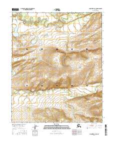
2016 Map of Melozitna D-3 SE
USGS Topo · Published 2016About this map
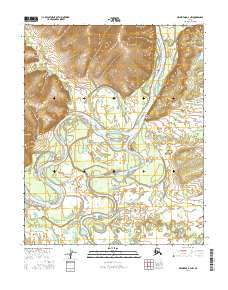
The Indian River meanders across the northern portion of this Alaska interior landscape, defining a broad valley that transitions into high ridges to the south. This 2016 survey documents a remote stretch of the Yukon-Koyukuk region, where the terrain rises sharply from the river basin toward an east-west trending upland. In the southern half of the sheet, the Little Indian River follows a parallel course through the lower elevations, reflecting the characteristic drainage patterns of this subarctic wilderness. The map is primarily defined by its physical geography and survey boundaries, such as t5n r22e and t6n r23e, illustrating the vast, unpopulated character of the state’s interior. These topographic details show the natural state of the land as it remained into the early 21st century, largely untouched by permanent settlements or road networks.
Find a feature on this map
8 named features on this map. Tap any name to fly to it.
Don’t see what you’re looking for? This feature index may not catch every label — zoom into the map to look around manually.
Map Details
Editions of this 2016 Melozitna D-3 SE Map
This is the sole edition of this map. No revisions or reprints were ever made.
Other maps of this area

1951 · Melozitna
USGS Topo · 1:250,000

1952 · Melozitna D-3
USGS Topo · 1:63,360

1954 · Melozitna C-3
USGS Topo · 1:63,360

1954 · Melozitna D-3
USGS Topo · 1:63,360

1955 · Melozitna D-2
USGS Topo · 1:63,360
1956 · Melozitna C-2
USGS Topo · 1:63,360

1956 · Melozitna
USGS Topo · 1:250,000
2016 · Melozitna D-2 NW
USGS Topo · 1:25,000
2016 · Melozitna D-3 NE
USGS Topo · 1:25,000
2016 · Melozitna D-3 NW
USGS Topo · 1:25,000